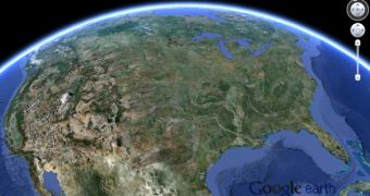
The stable version for Google Earth has been released and, as already announced when in the beta, it carries support for 3D imagery data for metropolitan areas around the globe, a feature available on the mobile version of the application for months.
The fresh release includes a tour guide feature that lets you check interesting places and receive various details without specifically searching for them. As you move on the map thumbnails with tours that have already been created dynamically, you get updated with interesting locations, thus allowing for an enhanced and more informative virtual experience.
Users will notice that zooming in now tilts at a higher elevation. This is done in order to showcase 3D imagery. Also new are the redesigned startup tips and status bar. Data about terrain is now accessed through the Google Maps Engine.
Google Earth for Windows
Download Google Earth for Mac
Download Google Earth for Linux

 14 DAY TRIAL //