Using this application you can view a map and various contents of it or you can add points of interest, roads, notes as well as bookmarks. #Edit MAP #Map Viewer #View Map #Map #POI #GPS
GPSMapEdit is a lightweight application designed to help you view and check out the contents of GPS maps in various cartographic formats.
It sports a clean and straightforward layout that gives users the possibility to “drag and drop” the items directly into the primary panel or use the built-in browse function.
GPSMapEdit offers support for a wide range of file formats: ARD, BIN, CRD, ECW, GDB, GPX, JPEG, MAP, NTM, WRT, and others.
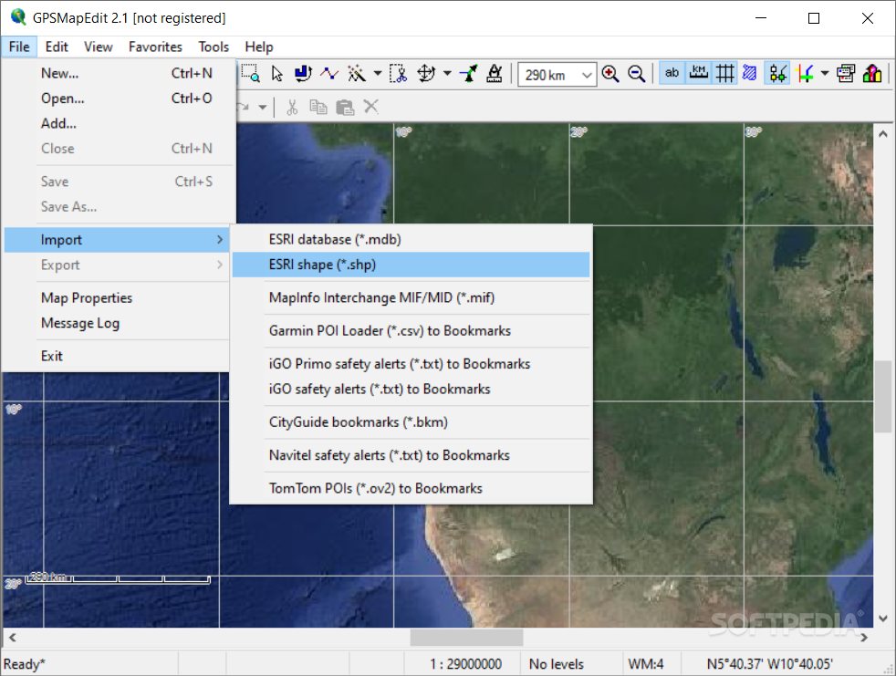
Other important options worth mentioning enable users to import information from MDB, SHP, MIF, CSV, or OV2 file formats, create a favourites list, rotate objects, create points, trim the map, measure the distance between points, remove duplicates and routing nodes, convert labels, merge inner polygons, edit postal address, and reset external nodes.
Last but not least, you can zoom in or out, change the map skin, show the ruler, grid, polygon contours, labels, routing nodes, vector map objects, and coverage area, as well as view a list with waypoints, tracks and routes.
Plus, you can create bookmarks and insert notes, perform tests to find the shortest or fastest path, select the measurement units for distance, elevation, Azimuth and area values, highlight addresses and route classes, as well as perform basic editing operations (cut, copy, paste, or delete).
During our testing we have noticed that GPSMapEdit carries out a task quickly and without errors throughout the entire process.
All things considered, GPSMapEdit offers useful features for helping users manipulate geographical data in a clean environment and is suitable for beginners and professionals alike.
What's new in GPSMapEdit 2.1.78.18:
- Enhancement: Application is digitally signed.
- Enhancement: Support of maps from mobile.here.com.
GPSMapEdit 2.1.78.18
add to watchlist add to download basket send us an update REPORT- portable version
- GPSMapEdit Portable
- runs on:
-
Windows 10 32/64 bit
Windows 8 32/64 bit
Windows 7 32/64 bit
Windows Vista 32/64 bit
Windows XP 32/64 bit - file size:
- 3.8 MB
- filename:
- mapedit2-1-78-15-setup.exe
- main category:
- Internet
- developer:
- visit homepage
ShareX

calibre

Windows Sandbox Launcher

4k Video Downloader

7-Zip

IrfanView

Zoom Client

Context Menu Manager

Microsoft Teams

Bitdefender Antivirus Free

- Context Menu Manager
- Microsoft Teams
- Bitdefender Antivirus Free
- ShareX
- calibre
- Windows Sandbox Launcher
- 4k Video Downloader
- 7-Zip
- IrfanView
- Zoom Client