View, manage, edit and export GIS and mapping file formats using the advanced features and comprehensive scripting IDE of this editor application. #GIS Editor #Map Creator #Add Layer #GIS #Map #Layer
TatukGIS Editor is a professional tool dedicated to managing GIS and mapping data. Not only can you open and render hundreds of image formats, but you can also create, edit, save and export to over 35 vector, image, grid and database layer formats.
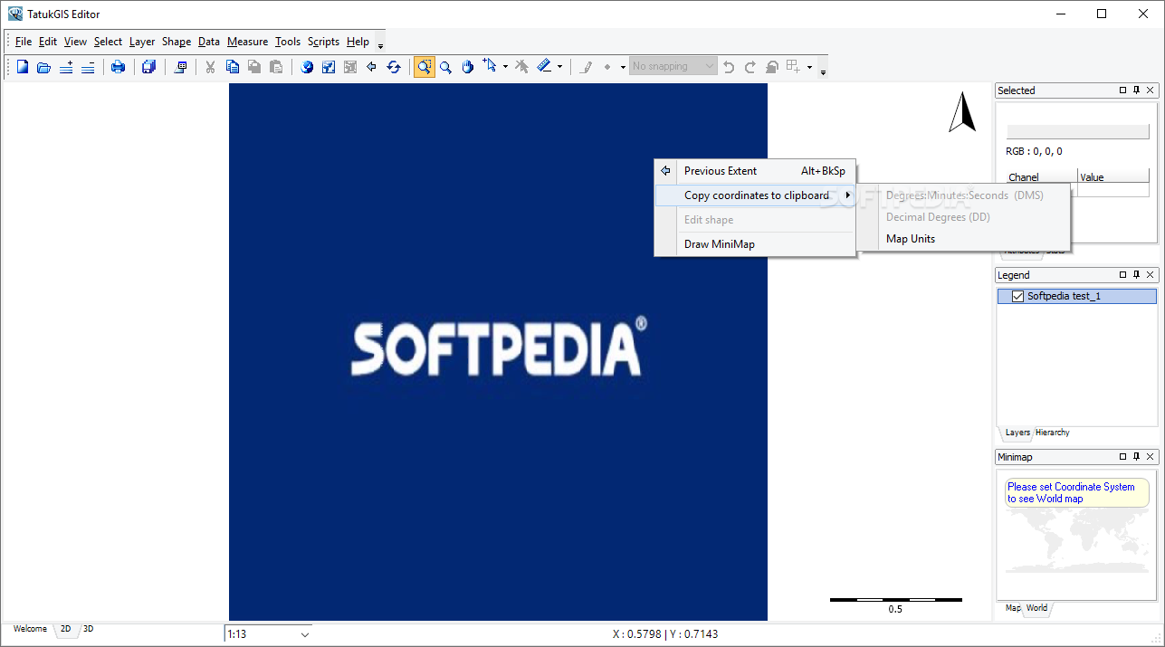
The application comes with a user-friendly interface that is unlikely to give you any troubles irrespective of your experience with similar tools. You can get started by loading the image you want to change or you can simply start from scratch, in case you are building a new GIS file.
The program packs numerous advanced features that permit a wide variety of manipulations, including, but not limited to map geometry and attributes, topography corrector tools, overlapping polygons and numerous other topological operations.
You can perform raster analysis thanks to a series of Geo-processing operations such as Fresnel zone analysis, terrain profile or special query, for instance. The tool can provide 3D vector rendering, flood simulation, light and shadow control as well as 3D object texturing.
A noteworthy option of the program is the built-in scripting IDE where you can write and debug code that can be later on used to extend the editor with extra features. On a side note, the script engine comes with a full Kernel API that packs hundreds of classes, methods and properties needed for GIS development.
At the same time, the app can rectify distortions for old vector maps, CAD drawings, georeferences the layer to a coordinate system and aerial maps. The rectification is done when you load the image on on-the-fly while editing and the results are immediately visible.
Regardless of whether you need a tool that allows you to open and make modifications of GIS and mapping files or you want to make edits to your current topography projects, perhaps you can consider giving TatukGIS Editor a try.
What's new in TatukGIS Editor 5.71.0.3012:
- New features:
- [EDT-3473] Add GridToPolygon tool
- Bugs:
- [EDT-3474] Sometimes AV upon closing scripter's created forms (Python,Scripting)
TatukGIS Editor 5.71.0.3012
add to watchlist add to download basket send us an update REPORT- runs on:
-
Windows 11
Windows Server 2022
Windows Server 2019
Windows Server 2016
Windows 10 32/64 bit
Windows Server 2012
Windows 2008 32/64 bit
Windows 2003
Windows 8 32/64 bit
Windows 7 32/64 bit
Windows Vista 32/64 bit - file size:
- 222 MB
- main category:
- Multimedia
- developer:
- visit homepage
paint.net

7-Zip

4k Video Downloader

ShareX

Zoom Client

calibre

IrfanView

Microsoft Teams

Bitdefender Antivirus Free

Windows Sandbox Launcher

- Microsoft Teams
- Bitdefender Antivirus Free
- Windows Sandbox Launcher
- paint.net
- 7-Zip
- 4k Video Downloader
- ShareX
- Zoom Client
- calibre
- IrfanView