A powerful and efficient application that integrates GIS and Remote Sensing options, being able to digitize and analyze raster data. #Integrate vector #Data analyzer #Design vector #Builder #Analyzer #Create
ILWIS Open is a powerful remote sensing / GIS application oriented towards vector / raster object manipulation with an emphasis on analyzing and digitizing data. It can also deliver highly qualitative maps.
The program was originally designed for students and researchers, but over the years, became one of the most popular integrated vector software used across a wide array of domains.
What made it stand out is the rich feature set that includes besides raster analysis, a variety of routines and tools able to work with satellite imagery, maps and tables.
It also has the upper advantage of being an open source application, which means it targets home users, as well as commercial environments without asking for payment.
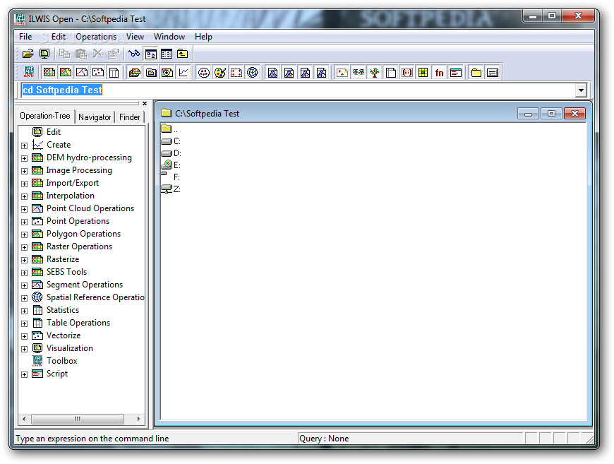
The program comes wrapped inside a classic interface that hosts buttons and menus encasing a wide array of functions, organized in a manner oriented towards the user.
ILWIS Open allows users to start projects such as point / segment / raster maps, tables, object collections, graphs, rose diagrams, coordinate systems, scripts, representations and so on.
The Operation-Tree provides access to a collection of utilities, namely rasterize, vectorize, statistics, image processing, SEBS tools, segment operations, to name just a few. The same set of manipulations are available inside a dedicated menu, although the first approach is more accessible.
Other highlights include the possibility to calculate distances, Digital Elevation Model generation, map classification and attribute management, histogram creation (for satellite imagery), isoline interpolation, pattern analysis to name the most important ones.
On an ending note, ILWIS Open comprises a collection of important tools that can help researchers and students work with GIS related data in an easier manner. The open-source license makes it available for commercial use, which is an advantage for scientific organizations.
What's new in ILWIS Open 3.8.1:
- New features include:
- access to OpenStreetMap (Internet access required) - add OSM layer to ILWIS layer
- hatching for polygons,
- Space Time Cube - tool for 3D analysis of spatial, temporal events,
ILWIS Open 3.8.1
add to watchlist add to download basket send us an update REPORT- runs on:
- Windows All
- file size:
- 29.1 MB
- filename:
- n52_ilwis_v3_08_01.zip
- main category:
- Multimedia
- developer:
- visit homepage
4k Video Downloader

Bitdefender Antivirus Free

ShareX

IrfanView

7-Zip

calibre

Zoom Client

Windows Sandbox Launcher

Context Menu Manager

Microsoft Teams

- Windows Sandbox Launcher
- Context Menu Manager
- Microsoft Teams
- 4k Video Downloader
- Bitdefender Antivirus Free
- ShareX
- IrfanView
- 7-Zip
- calibre
- Zoom Client