Software solution designed for travelers, it can download and display maps and satellite images, it can show your current position and record your track. #Track GPS position #Satellite image #Geographical waypoint #GPS #Satellite #Map
It seems that the Internet has all sort of software solutions that you can use in any situation, regardless of the things you wish to achieve. One of them is MapSphere.
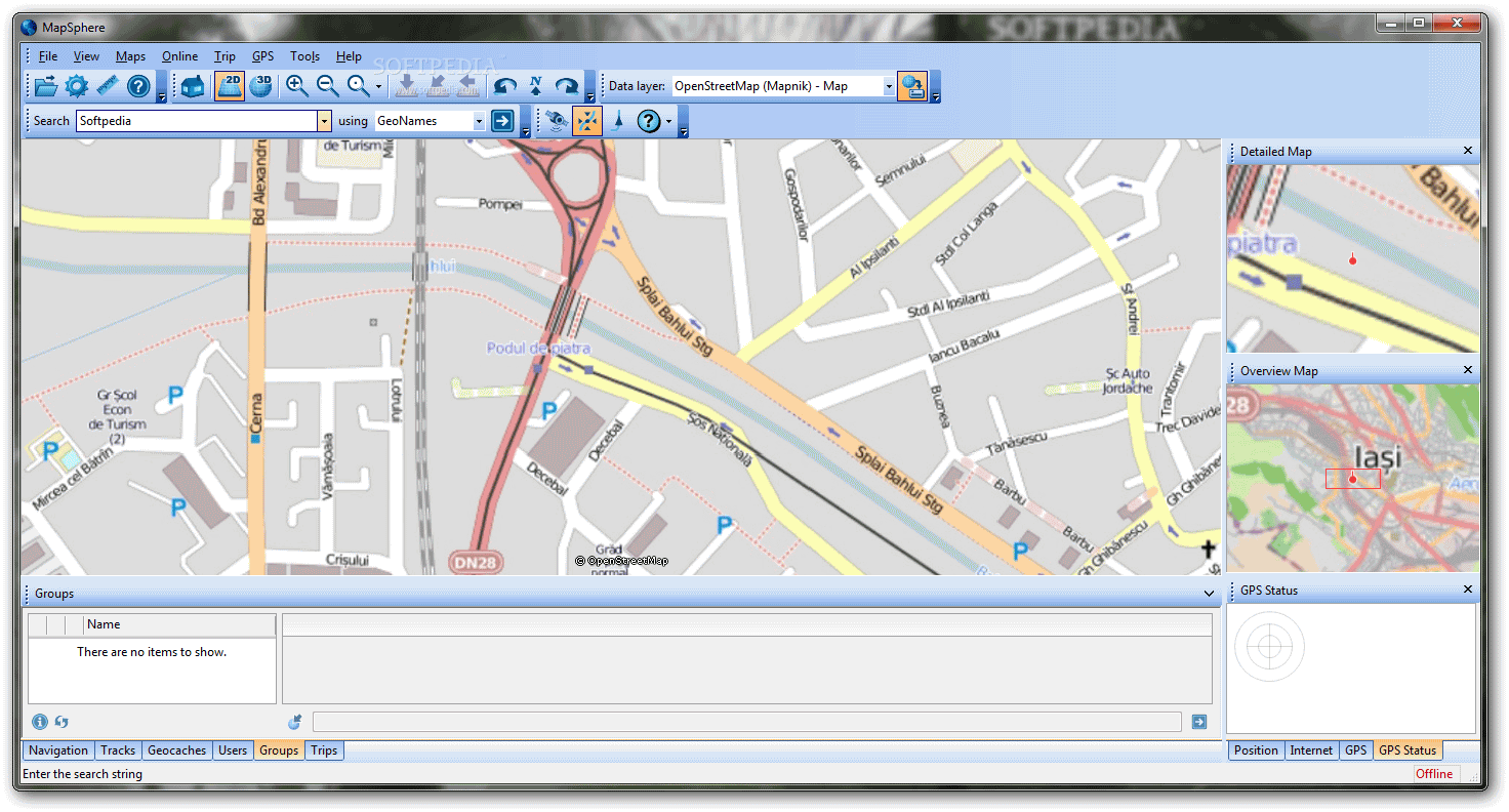
It's a neat software solution designed for travelers and people who track them. It can download and display maps or satellite images in multiple ways.
The application sports a really intuitive and easy-to-use graphical interface with multiple tools and features at hand. You can make some general settings to the application and pick from the metric or imperial systems for distance.
You can also pick measurement units for coordinates and it lets you adjust some online privacy settings and the application is available in multiple languages.
The program can show your current position and record your track, provided that you use a GPS receiver. MapSphere helps you to share your trip with others in a fast way and in almost automated mode.
It doesn't contain any maps, but it connects to public sources of mapping data such as OpenStreetMap or Microsoft Research Maps. It automatically stores data on your hard drive while you scroll or zoom the map.
Maps are also available in offline mode, so you can navigate without being connected to the Internet. The maps can be downloaded along any path or within a given radius.
You can search for populated places and geographical objects all over the world in any language but streets and addresses are mainly represented in the USA. You can also find a location by using its coordinates.
Some more features are available online, you can store your track on the developer's server, manage contact list and chat in groups. MapSphere is a very neat application for creating your trip itinerary and tracking all the places that you've visited.
What's new in MapSphere 1.01 Build 261 Beta:
- Now you can upload photos with higher resolutions to MapSphere site. Along with old resolution 1024x768 you can also choose 1536x1152 or 2048x1536 in the Photo Geocoding dialog.
- MapSphere tries to automatically reconnect GPS if the connection was broken due to some reason.
- The Pause button was removed from the Area Download Progress dialog.
- The "OpenStreetMap (Osmarender) - Map" layer is not supported by its provider anymore. This layer is excluded from MapSphere setup.
MapSphere 1.01 Build 261 Beta
add to watchlist add to download basket send us an update REPORT- runs on:
-
Windows 7 32/64 bit
Windows Vista
Windows XP - file size:
- 11.5 MB
- filename:
- MapSphere-1.01.261.exe
- main category:
- Others
- developer:
- visit homepage
Microsoft Teams

Zoom Client

4k Video Downloader

calibre

IrfanView

paint.net

ShareX

Bitdefender Antivirus Free

7-Zip

Windows Sandbox Launcher

- Bitdefender Antivirus Free
- 7-Zip
- Windows Sandbox Launcher
- Microsoft Teams
- Zoom Client
- 4k Video Downloader
- calibre
- IrfanView
- paint.net
- ShareX