Build complex GIS toolkits and applications with the help of this very useful Java library for geospatial data that provides multiple manipulation methods. #Geospatial data library #GIS library #Java GIS toolkit #GIS #Manipulation #Geospatial data
Manipulating geospatial data is not something any user can do and the ones that are up for the task require special tools to work with.
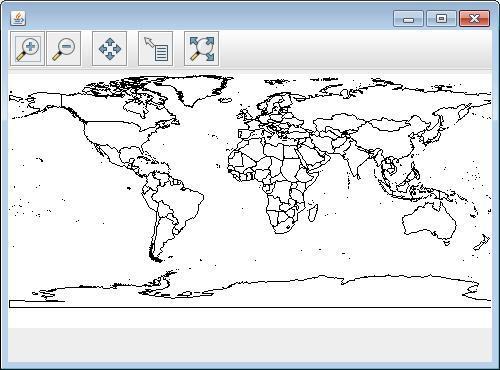
GeoTools is a library based on the specifications of Open Geospatial Consortium (OGC) that provides standard methods for working with geospatial data. It is used by web services, command line tools and several desktop programs.
The library can work with a large number of data formats, which includes various raster and vector formats as well as XML bindings. A full list of the supported file formats is available in the documentation of the package.
However, given the structure of the library, plug-ins can be added in order to extend raster - database and geospatial file format support even more.
The modules included in the bundle allow you to access GIS (Geographic Information Systems) data, work with map projections as well as analyze the information according to spatial and non-spatial attributes.
Among the features present in the bundle there is the possibility to define interfaces for key spatial concepts and data structures.
It integrates support for graphs and networks and features a stateless renderer that comes in handy in server-side environments, and does not require large amounts of memory.
Another feature refers to the possibility to interact with OGC web services with both Web Map Server and Web Feature Server support.
GeoTools is a flexible library of geospatial tools that can be extended through the implementation of additional modules. It works to both vector and raster data. It is widely used both in online services as well as in desktop applications and other tools.
What's new in GeoTools 31.0:
- New Feature
- GEOT-7419 New function: lin (in function for list)
- GEOT-7488 GDAL, GeoTIFF and ImageMosaic ignore nodata when it's NaN
GeoTools 31.0
add to watchlist add to download basket send us an update REPORT- PRICE: Free
- runs on:
-
Windows 11
Windows 10 32/64 bit
Windows 8 32/64 bit
Windows 7 32/64 bit - file size:
- 99.1 MB
- main category:
- Programming
- developer:
- visit homepage
calibre

IrfanView

Context Menu Manager

7-Zip

Windows Sandbox Launcher

4k Video Downloader

Zoom Client

ShareX

Microsoft Teams

Bitdefender Antivirus Free

- ShareX
- Microsoft Teams
- Bitdefender Antivirus Free
- calibre
- IrfanView
- Context Menu Manager
- 7-Zip
- Windows Sandbox Launcher
- 4k Video Downloader
- Zoom Client