Add web mapping capabilities to your CAD suites with this compact and lightweight application that offers tile management, drawing and a coordinate system library. #AutoCAD web mapping #Satellite imagery #AutoCAD mapping #Mapping #AutoCAD #Satellite
Users who are handling 3D CAD projects that have spatial references attached, might have difficulties in bringing such files into mapping environments. Automapki is an application that was designed in order to add Web mapping capabilities to CAD suites. It will allow people to easily display their spatially references DWG files over the preferred satellite imagery, with tools for map drawing and defining the required coordinate system.
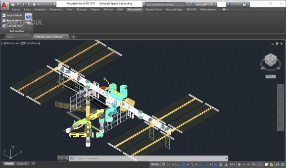
Depending on the selected CAD suite, AutoCAD, ZWCAD+ or BrickCAD, the application will add a dedicated module in their corresponding interface. In its unobtrusive menu, users will find several quick-access buttons for drawing shapes in its browser, inserting GEOtiff tiles or managing TSM layers.
People will be able to easily enable a map browser and select the preferred map server providers, in accordance with their requirements. Provided that they have already loaded a DWG project that contains spatially referenced objects, the application will offer a notification screen for defining a corresponding coordinate system.
Users will have the ability to choose from an extensive library of coordinate systems, in order to set the correct one for displaying their data. However, not much details are provided about each one, and this is something that could be improved in future versions.
In addition to its web map browser, the utility will allow one to also add preferred tile servers, such as OpenStreetMap, for extra map layers. The provided drawing module offers people the chance to draw on the map layers loaded in the Browser window, with several basic tools for polygon construction. Unfortunately, the set of drawing tools is basic at best and might not suffice the needs of experienced users.
This application addresses those who require an efficient way of bringing web mapping into their CAD software, for visualizing spatially referenced projects onto the preferred satellite imagery or maps. It will provide them with a dedicated module in their CAD suites, which will allow them to load satellite imagery, web map servers or local drive map tiles. With an extensive coordinate system library, the application ensures that users will be able to display their data correctly.
What's new in Automapki 2.0.3:
- Support for AutoCAD 2025.
Automapki 2.0.3
add to watchlist add to download basket send us an update REPORT- runs on:
-
Windows 11
Windows 10 32/64 bit
Windows 8 32/64 bit
Windows 7 32/64 bit
Windows Vista 32/64 bit
Windows XP 32/64 bit - file size:
- 352 MB
- filename:
- automapki.msi
- main category:
- Science / CAD
- developer:
- visit homepage
Context Menu Manager
Windows Sandbox Launcher
calibre
IrfanView
Zoom Client
Bitdefender Antivirus Free
4k Video Downloader
7-Zip
Microsoft Teams
ShareX
- 7-Zip
- Microsoft Teams
- ShareX
- Context Menu Manager
- Windows Sandbox Launcher
- calibre
- IrfanView
- Zoom Client
- Bitdefender Antivirus Free
- 4k Video Downloader
