Create 2D CAD drawings with this practical lightweight application that allows you to insert BMP images and various geometric forms. #2D CAD drawing #Draw CAD #Civil Engineering drawing #2D CAD #Draw #Projection
Land Surveying and Civil Engineering professionals need adequate tools to do their jobs, especially drawing applications. CAD utilities range from highly simple drawing programs to comprehensive land projection suites. In the former category, one can include GroundCAD, a practical and lightweight tool that allows one to quickly make basic CAD drawings.
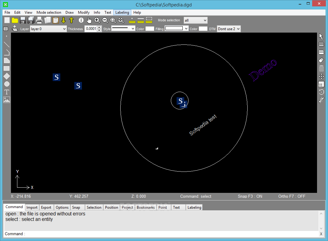
The program does not require any installation and continues to be highly accessible, even when considering the actual drawing process. Engineers are free to add custom BMP images, as well as draw their own geometric shapes, such as circles, polygons, and simple lines.
One of the notable features is the program's ability to import data from common TXT or CSV files, as well as from specially formatted containers like DXF, Sokkia SDR33 or Topcon FC4 and GTS7 documents.
The basic layout of the interface is highly intuitive, with an ample canvas for drawing all the essential elements, as well as multiple top-side buttons. The lower side features numerous tabs that give users a wide range of tools to tackle any issues. The lightweight program supports working with layers or bookmarks and users can apply scale, rotate, and explode modifiers to any graphical elements.
Text messages can also be inserted and users have complete control over the thickness, style, and filling of any geometric shapes added. Magnification factors can be applied by accessing the zoom functions and users can export their projects to various simple or complex formats, such as CSVs, BMPs, PNGs files or DXF12, Google KML3D, and SVG data containers.
In conclusion, GroundCAD is a simple land projection CAD application that can be of help to engineers. The program allows its users to create simple 2D drawings, complete with support for a wide variety of geometric shapes and multiple layers. When satisfied, users can export the projections to DXF or SVG formats.
GroundCAD 0.3.1 Alpha
add to watchlist add to download basket send us an update REPORT- runs on:
-
Windows 10 32/64 bit
Windows 8
Windows 7
Windows Vista
Windows XP - file size:
- 1013 KB
- main category:
- Science / CAD
- developer:
- visit homepage
Microsoft Teams

calibre

ShareX

Bitdefender Antivirus Free

4k Video Downloader

Windows Sandbox Launcher

paint.net

7-Zip

Zoom Client

IrfanView

- 7-Zip
- Zoom Client
- IrfanView
- Microsoft Teams
- calibre
- ShareX
- Bitdefender Antivirus Free
- 4k Video Downloader
- Windows Sandbox Launcher
- paint.net