A complex and useful mapping tool that allows both experts and amateurs to edit and merge satellite imagery files and digital elevation models. #Map creator #Map analyzer #Geological map #Map #Analyzer #Geology
MicroDEM is a powerful application that allows you to work with maps and satellite imagery in order to view their content and merge the maps. The program allows you to analyze multiple map files and databases in a straight-forward interface.
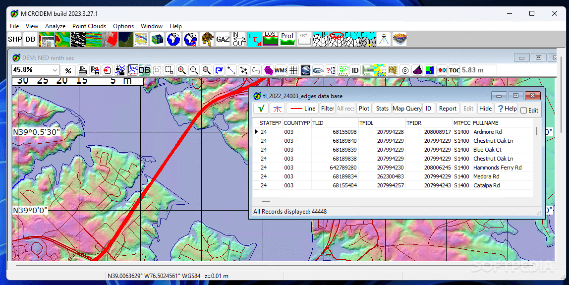
Specialists who create maps and process satellite imagery need to use a dedicated program in order to analyze and manipulate the data. GIS (geographical information system) applications come to satisfy these needs and provide multiple , s for merging and editing various file types.
This application allows you to load multiple map files into your project. Thus, it can process DEM files, vector maps, popular image formats (JPG, PNG, BMP), GeoTIFF and geographic imagery datasets.
In order to create a complete map you need to add multiple data layers that include landmarks, buildings, vegetation and other relevant features. The program allows you to adjust the datum of every imagery file in order to accurately align all the layers.
You can also download weather maps that can be added to your projects as an overlay. Moreover, the application includes multiple measurement tools that enable you to measure distances or areas and convert geographical coordinates.
Usually, GIS tools are not designed for beginners and this program makes no exception. It includes multiple advanced tools and an extensive documentation but can be hard to use if you only want to create a simple map.
However, the documentation that you can download when you start the program for the first time includes references, detailed instructions and even GIS courses. Additional tutorials describe frequent operations such as comparing DEM files or manipulate GPS tracks.
If you have experience in using GIS applications, MicroDEM can be a suitable tool for analyzing and creating maps.
What's new in MICRODEM 2023.3.27.1:
- New features:
- New false color vegetation display mode for satellite imagery, with 2 IR bands and a very vibrant green for the vegetation
- Grids created from satelllite images (NDVI, etc.) immediately subset to the same map area
- Average by latitude graph for databases. 2D graph
MICRODEM 2023.3.27.1
add to watchlist add to download basket send us an update REPORT- PRICE: Free
- runs on:
-
Windows 11
Windows 10 64 bit - file size:
- 18.1 MB
- filename:
- microdem_setup.exe
- main category:
- Science / CAD
- developer:
- visit homepage
Microsoft Teams

Zoom Client

Windows Sandbox Launcher

calibre

IrfanView

Bitdefender Antivirus Free

7-Zip

4k Video Downloader

ShareX

paint.net

- 4k Video Downloader
- ShareX
- paint.net
- Microsoft Teams
- Zoom Client
- Windows Sandbox Launcher
- calibre
- IrfanView
- Bitdefender Antivirus Free
- 7-Zip