Calculate square feet, acres, hectares and all kind of perimeter lenghts, as well as plot map with the help of this streamlined software solution. #Plot map #Calculate square feet #Calculate acreage #Calculator #Acreage #Perimeter
As the name suggests, Metes and Bounds is a program that can create plot maps and perform various calculations for perimeter distance and more. The program comes with a drawing wizard that helps create new plot outlines.
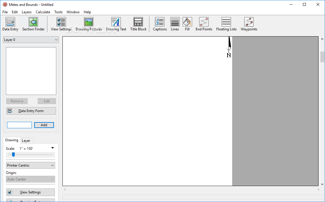
The app has a simple interface that includes a bunch of tools and focuses on the current drawing.
The aforementioned Drawing Wizard asks you several questions about the type of plan you want to create and based on the provided answers, the wizard presets some of the values to help accomplish your goals.
Unlike other apps that use similar wizards, this one doesn’t lock you into a certain workflow, but gives you access to all the tools and lets you change any of the options in order to better suit your needs.
Some items can be added to the plans, such as pictures, labels and text, as well as a title block.
Lines, curves and corners may be added to the drawing by specifying the exact position, orientation and distance from another point.
The program can work with multiple layers in the same drawing, providing options for using a scaled background image, such as a section or topographical map.
The bottom line is that Metes and Bounds is a nice tool that can come in handy if you often work with land plots. Less experienced individuals shouldn’t have any problems while working with this utility, thanks to its intuitive interface.
What's new in Metes and Bounds 6.1.1:
- [New] Added the Paces unit of measurement.
- [Fix] Fixed an issue with Use Fill color being disabled on the Floating Lists options.
- [Fix][OSX] Fixed an issue creating a new grid layer.
Metes and Bounds 6.1.1
add to watchlist add to download basket send us an update REPORT- runs on:
-
Windows 11
Windows 10 32/64 bit
Windows 8 32/64 bit
Windows 7 32/64 bit - file size:
- 35 MB
- filename:
- MetesandBoundsWin.zip
- main category:
- Science / CAD
- developer:
- visit homepage
ShareX

Windows Sandbox Launcher

Bitdefender Antivirus Free

7-Zip

Zoom Client

Context Menu Manager

calibre

4k Video Downloader

Microsoft Teams

IrfanView

- 4k Video Downloader
- Microsoft Teams
- IrfanView
- ShareX
- Windows Sandbox Launcher
- Bitdefender Antivirus Free
- 7-Zip
- Zoom Client
- Context Menu Manager
- calibre