GPS Interface program with live tracking on your Laptop that allows you to plan your trip ahead on a digital map (scanned or purchased). #GPS explorer #GPS utility #GPS position #GPS #Explorer #Map
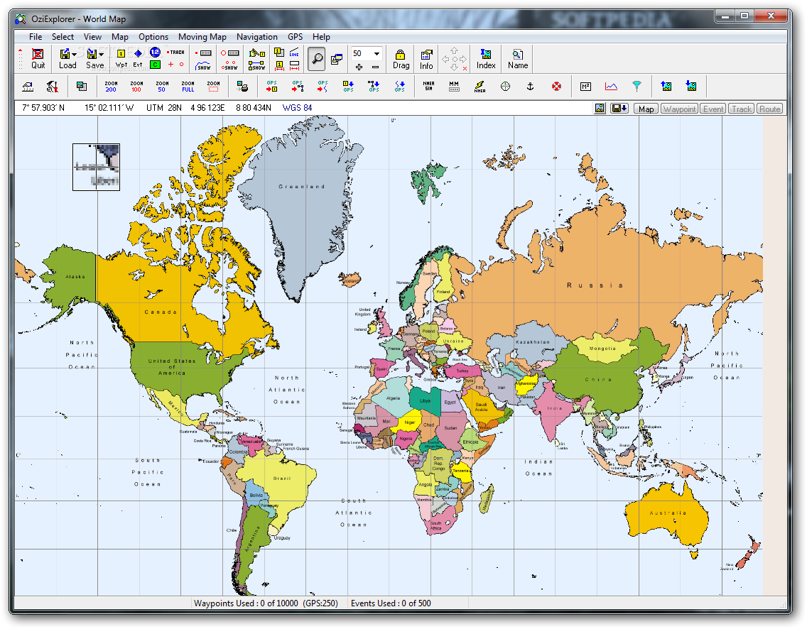
OziExplorer is an advanced GPS mapping software that allows for the creation of routes and waypoints in order to plan trips across the world. It can work with digital maps and a wide array of GPS receivers in order to track your position in real time.
OziExplorer is an innovation in its software field, simplifying the concept of trips by permitting to plan them ahead in a manner that will allow you to reach your destination in an organized manner, faster than using the classical map approach.
In order to achieve all of this, OziExplorer relies on a very rich collection of functions which may seem overwhelming at first, but once you start exploring them, piece by piece, you will find their proper meaning.
Because it achieves a complex purpose, OziExplorer relies on a rather complicated architecture, which is sure to challenge users every step of the way, until it becomes a habit to work with the program.
In order to plan your trip in an organized manner, OziExplorer puts at your disposal various utilities that will simplify your job. It can make use of digital maps (purchased or scanned) in order to create routes and waypoints, but it can also use GPS receivers in order to download and even upload such information.
This operation is available only for a short list of GPS models (Magellan, Garmin, Eagle, Lowrance, Brunton/Silva and MLR), but on the bright side, if you own a different type of GPS receiver, you can use it to track your position in real time (in the form of a moving map).
OziExplorer will accompany you throughout the trip, offering you instructions and displaying various parameters such as next waypoint, course, speed, distance, ETA and other such information.
You can also place comments, symbols and pictures on the maps, as well as to print waypoint lists.
Considering all of the above, OziExplorer is worth having in your traveling bag. It is innovative, well-built and smart enough to guide you throughout the whole trip. Even if it takes a little getting used to, available features give you the possibility to determine your position and always stay on track.
What's new in OziExplorer 3.95.6f:
- Added "Selection Control" button to the Track Control Toolbar.
- Added "Clear All Tracks" button to the Track Control Toolbar.
- Added "Open Topo Maps" to Internet Maps, this map is really only for Europe at this stage.
- Fixed many issues when manipulating track points.
OziExplorer 3.95.6f
add to watchlist add to download basket send us an update REPORT- runs on:
- Windows All
- file size:
- 8.4 MB
- filename:
- oziexp_setup.exe
- main category:
- Science / CAD
- developer:
- visit homepage
ShareX

Windows Sandbox Launcher

Zoom Client

Bitdefender Antivirus Free

Context Menu Manager

4k Video Downloader

calibre

IrfanView

Microsoft Teams

7-Zip

- IrfanView
- Microsoft Teams
- 7-Zip
- ShareX
- Windows Sandbox Launcher
- Zoom Client
- Bitdefender Antivirus Free
- Context Menu Manager
- 4k Video Downloader
- calibre