A universal Geographic Information System that can use spatial data from internal or external databases like MS SQL or Oracle servers. #Map creator #Theme creator #Table creator #Geoinformation #Geographic #CAD
NOTE: This application is free for non-commercial use.
If you're working in a field that involves relying on a lot of geography resources like maps, terrains, layers and geolocation, you might be interested in trying an application that can help you get all the gathered information in one place.
GIS ObjectLand presents itself as a universal Geographic Information System that can help you create vector-raster maps that have arbitrary feature types and layer structure and saving it in an internal database or external ones.
Among the file types it can handle, it is possible to find MIF/MID (MapInfo), DXF (AutoCAD), CSV, DBF (dBASE) and SHP (ArcView). The application can import and export these format types without significant efforts.
As mentioned above, this program is capable of saving the given data by either choosing an internal ObjectLand database or by selecting from one of the following external ones: MS SQL Server, DB2, Oracle, MySQL, Interbase/Firebird, MS Access and PostgreSQL.
Moreover, you can control the display features depending on the scale you chose, assign feature coordinates or draw directly with your input device (e.g. your mouse), merge several separate map pages into a large map file, create tables and queries as well as move, copy or merge maps, layers or any other similar object between different databases.
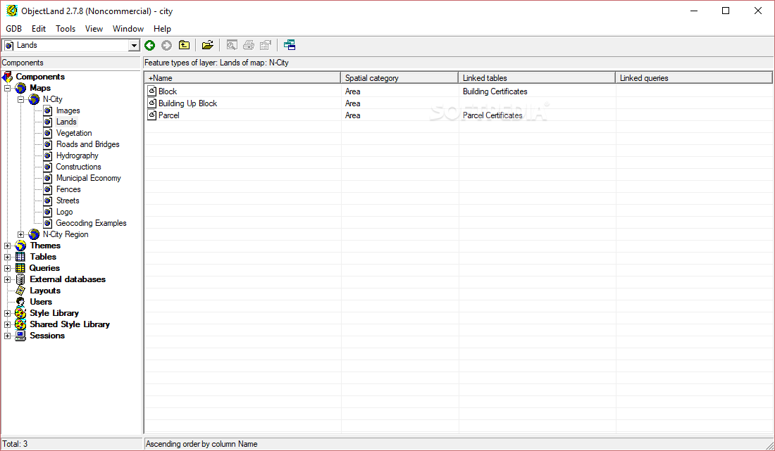
Visually-wise, GIS ObjectLand doesn't boast an amazing layout, but the way that its menus and functions can be accessed compensates the lack of a better-looking interface.
The theme and icons resemble that of an earlier version of Windows (95,98) but that shouldn't be a concern, especially for professionals, who tend to overlook this kind of minor inconvenience.
If you're in need of a geographical information system that can migrate several data bits between databases seamlessly, you might want to give GIS ObjectLand a try.
GIS ObjectLand 2.7.9
add to watchlist add to download basket send us an update REPORT- runs on:
- Windows All
- file size:
- 28 MB
- filename:
- NC.ObjectLand.2.7.9.exe
- main category:
- Science / CAD
- developer:
- visit homepage
Bitdefender Antivirus Free

Microsoft Teams

7-Zip

IrfanView

paint.net

Zoom Client

Windows Sandbox Launcher

calibre

4k Video Downloader

ShareX

- calibre
- 4k Video Downloader
- ShareX
- Bitdefender Antivirus Free
- Microsoft Teams
- 7-Zip
- IrfanView
- paint.net
- Zoom Client
- Windows Sandbox Launcher