14 DAY TRIAL //
 If you are the kind of person that travels a lot and you own a camera I am sure that organizing the photos taken on each trip takes a lot of your valuable time. Not to mention that each time you want to share your fabulous experiences you find yourself in the position of thoroughly explaining details that cannot be contained in any picture or physical map. And since an image says more that a thousand words, presenting the places you visited by using Google Maps becomes actually a great idea.
Geophoto is an application designed to make the encounter between Google Maps and your pictures run as smoothly as possible. In the process, you will also be able to update the metadata of your images with the location information.
The Looks
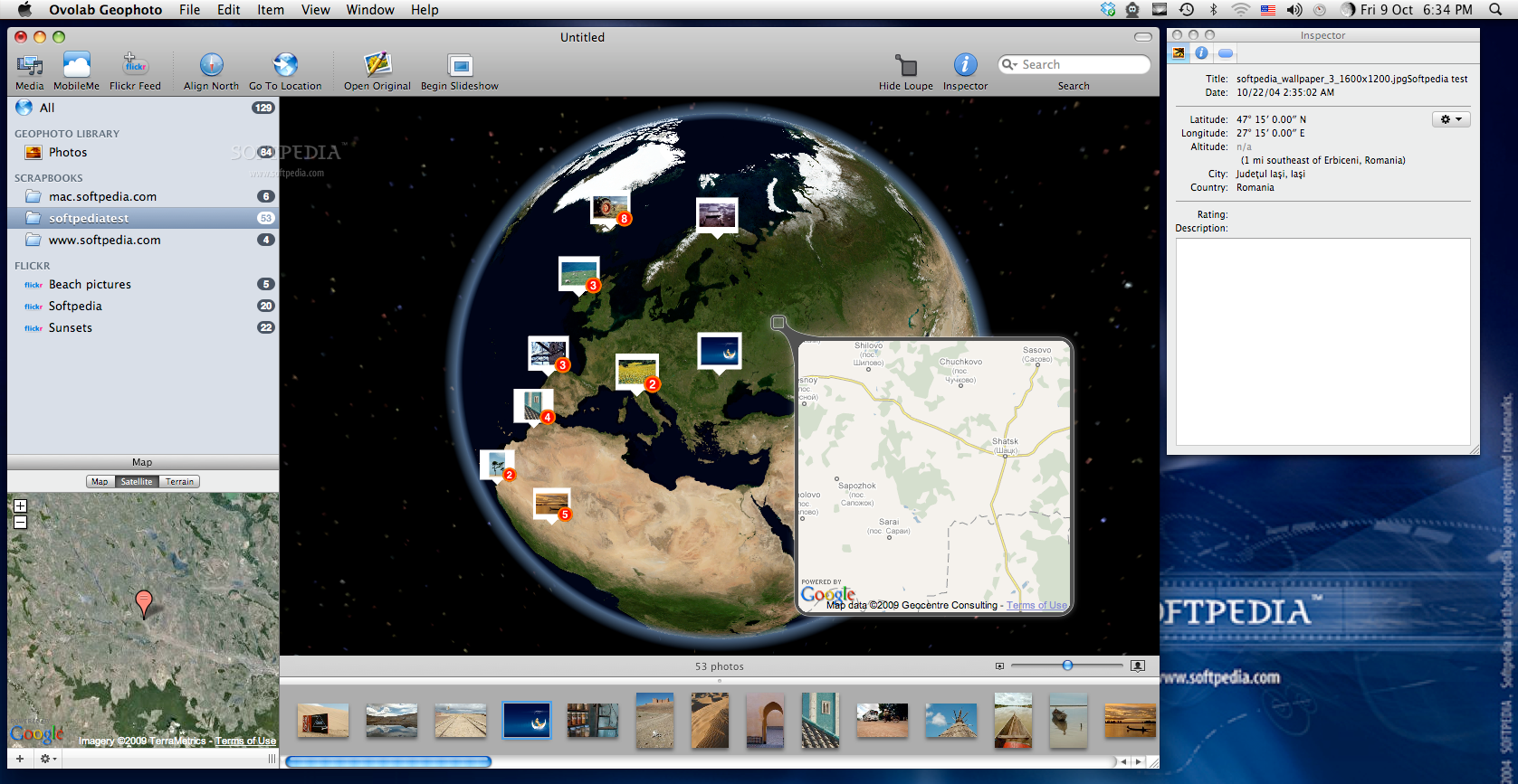
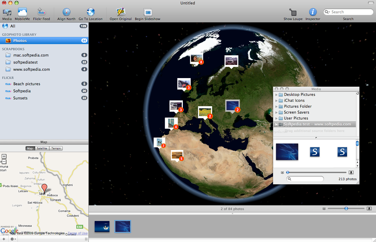
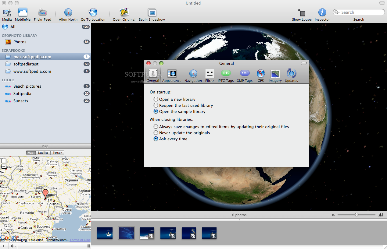
The application interface is centered upon the most innovative feature provided by Geophoto: the Globe representation. The main window has four important areas: the Library, the Map, the Strip and the Globe, but the last one covers most of the available space.
On the top of the window the button bar provides easy access to the media window, where you can easily add new media locations, or to the MobileMe account, but it also allows you to add Flickr feeds, choose to align north, search a certain location, open the original file, begin the slideshow or hide and unhide the loupe. On the right side you will be able to see the built-in search field and the Inspector button in case you want that particular window revealed.
The Works
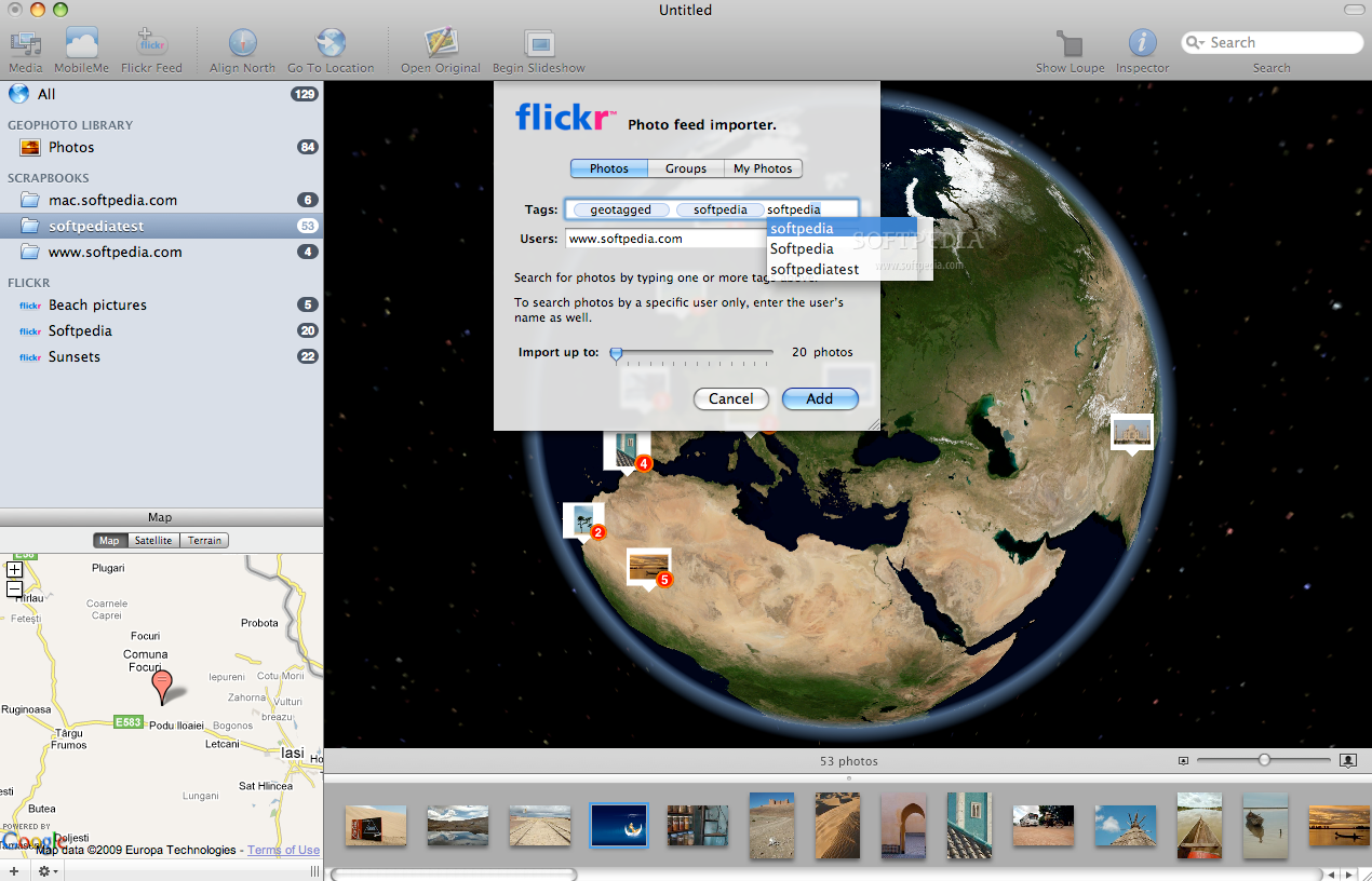
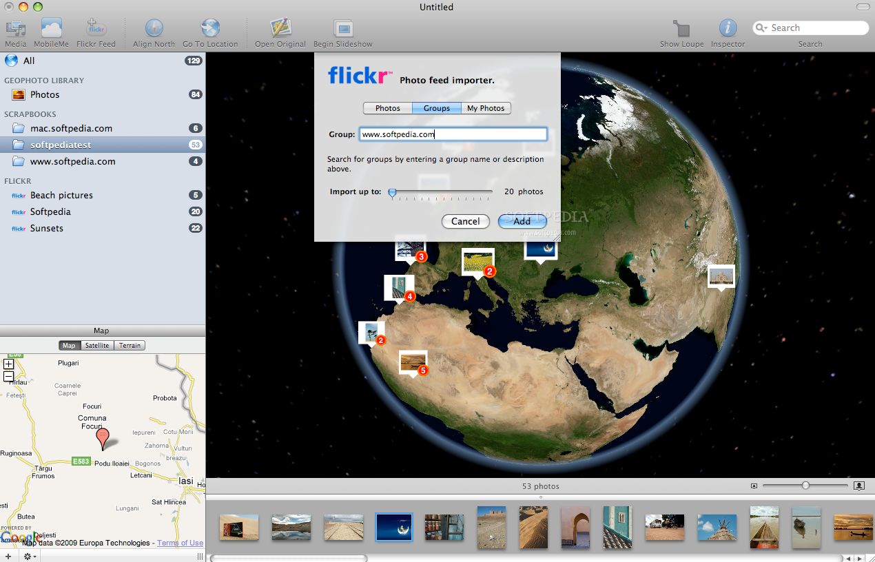
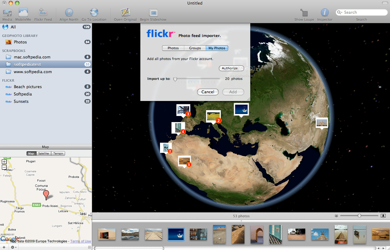
A very important step in creating your own Geophoto album is to add the images you want to use to the application library. You can do this by drag and drop into a newly created scrapbook or you can add photos from Flickr. All the imported pictures will be displayed under the All tag, the ones for which you have manually added the location under the Geophoto library tag and the Flickr feeds under the tag with the same name.
Each time you import a feed from Flickr you must specify at least one searching criteria but you can also choose to add images from a certain user or group, and set how many images should be imported. You can add images from your own account by authorizing Geophoto to access your Flickr account.
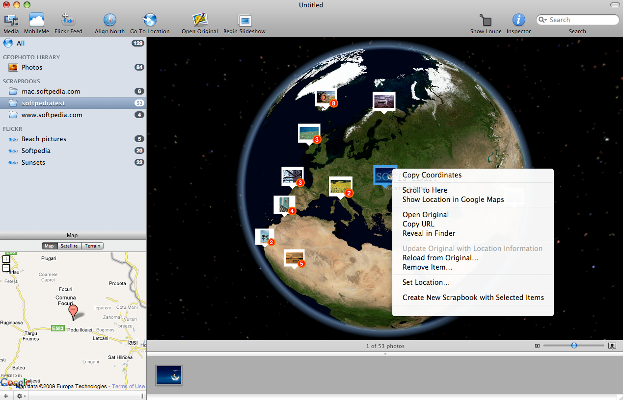
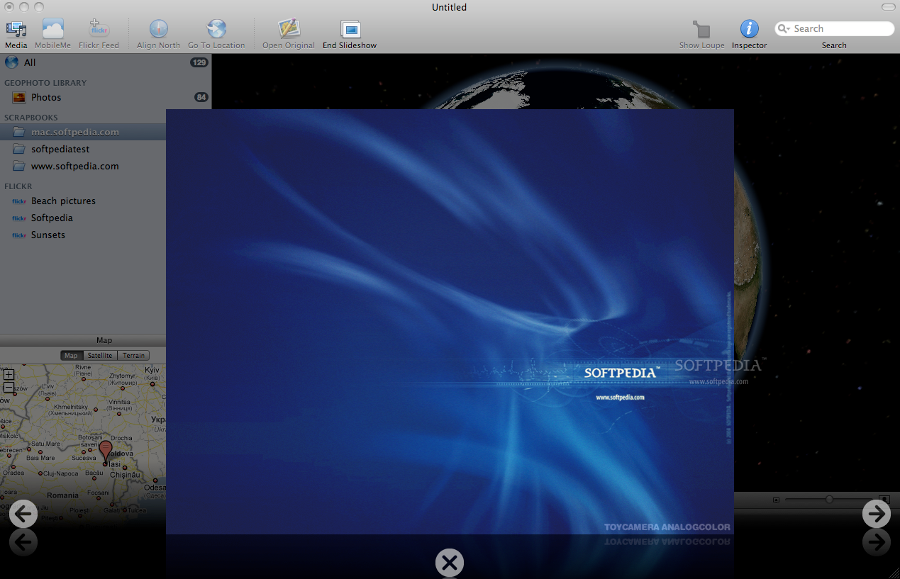
The library browsing follows basic usability rules so every time you select one of the available groups the images contained will be displayed on the Globe as pinned thumbnails and in the Strip window below. If multiple pictures are located in the same area they form a stack and only one thumbnail is displayed although you can see how many photos are in the stack. If the images are located at the same spot they will not separate as you zoom in but you will be able to see them on the strip or by activating the slideshow mode.
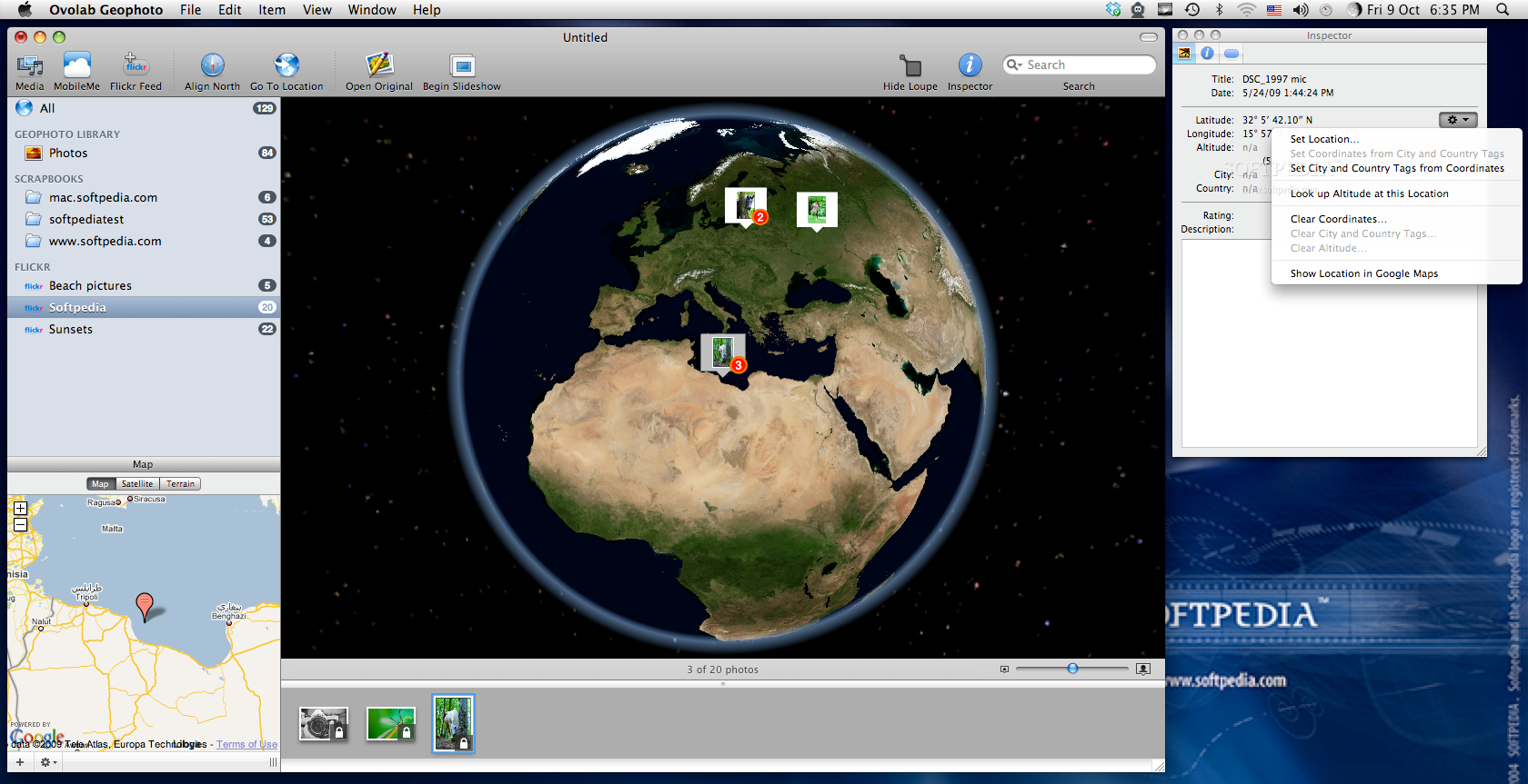
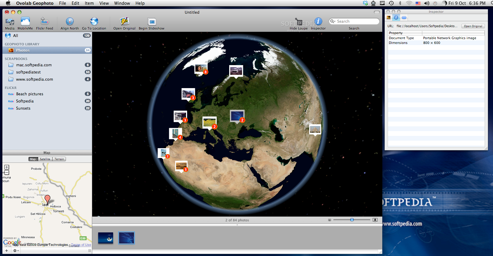
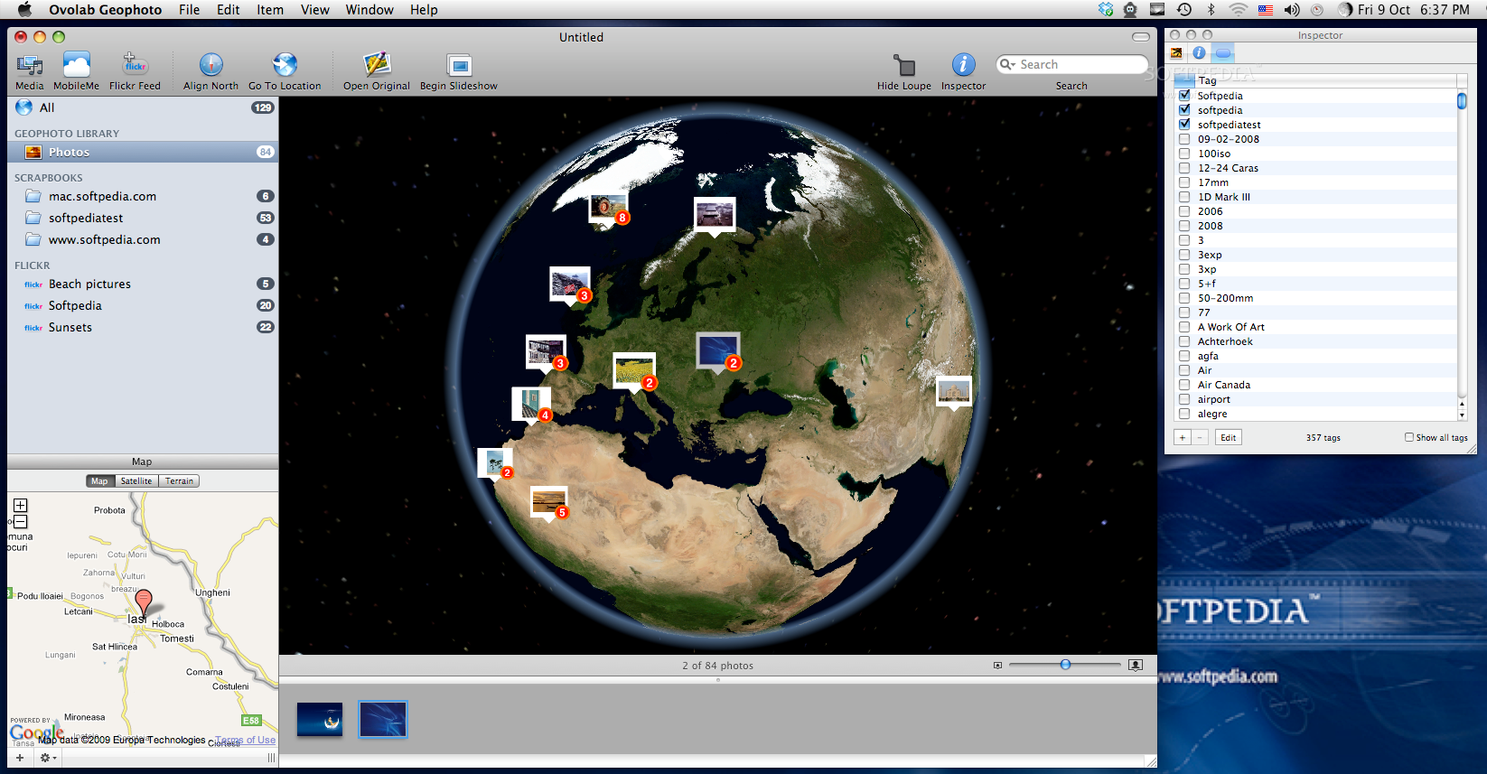
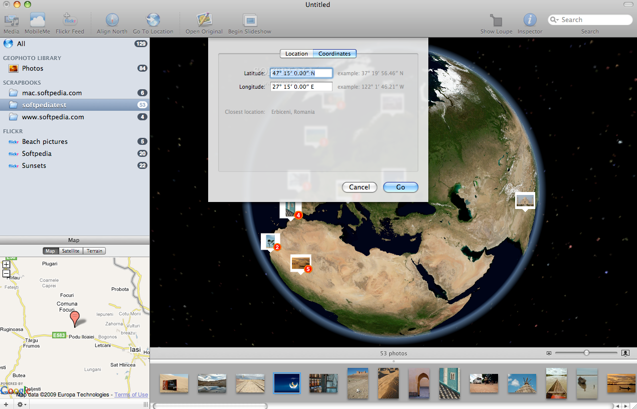
While in the Strip, you can see if the current image is geotagged, if the item can be modified or if the original is still available. Each time you select an image on the Strip or on the Globe the Inspector window will display the title and the date of creation, the location latitude and longitude, the altitude, city and country. The second panel of the Inspector window will show you the document location, type and dimension while on the last panel you can see the default tag list and specify which one you want to add to the current image. If you cannot find anything suitable among the predefined tags you have the possibility to add new ones.
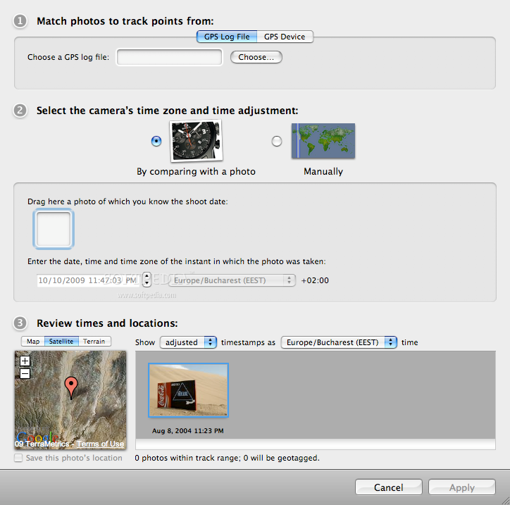
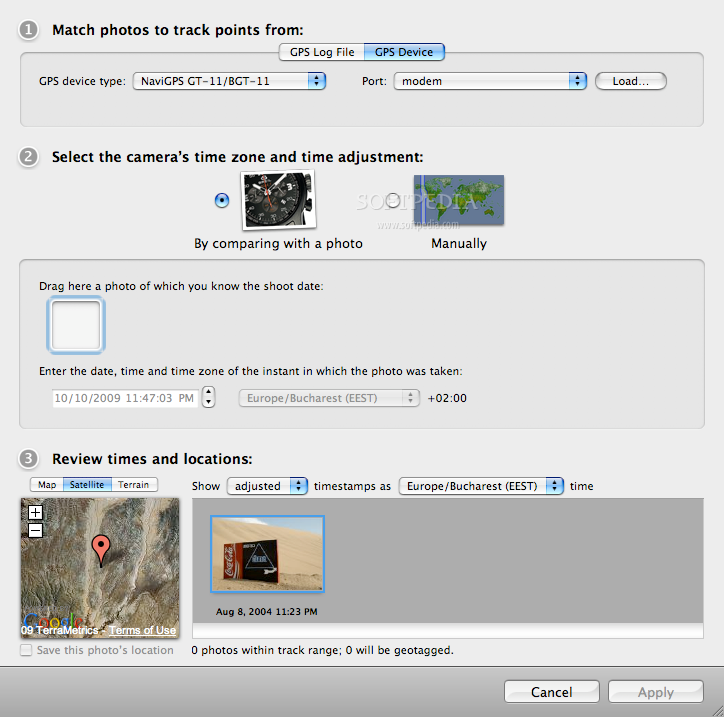
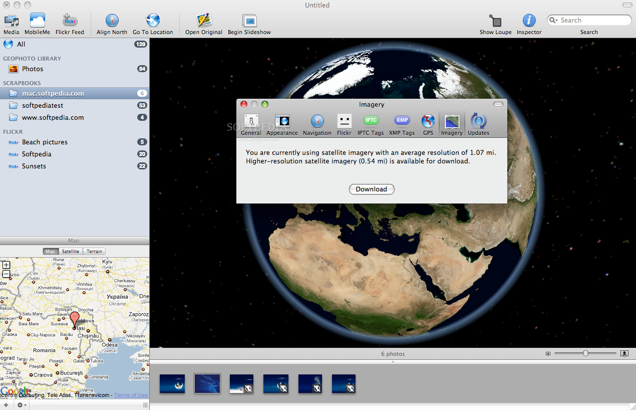
In order to provide more explicit information Geophoto provides access to the Google Map service within the application. On the bottom left you can see the location of the selected image on the map, either in satellite mode or terrain. This way you will be able to see exactly where the picture was taken. In order to make your work easier, Geophoto is able to match your photos to a GPS track by comparing the picture time stamp with the GPS logs. Still, before actually using this feature (available from the Item menu) you must make sure that your GPS device is compatible with Geophoto and that your camera clock displays the correct time when you take the pictures.
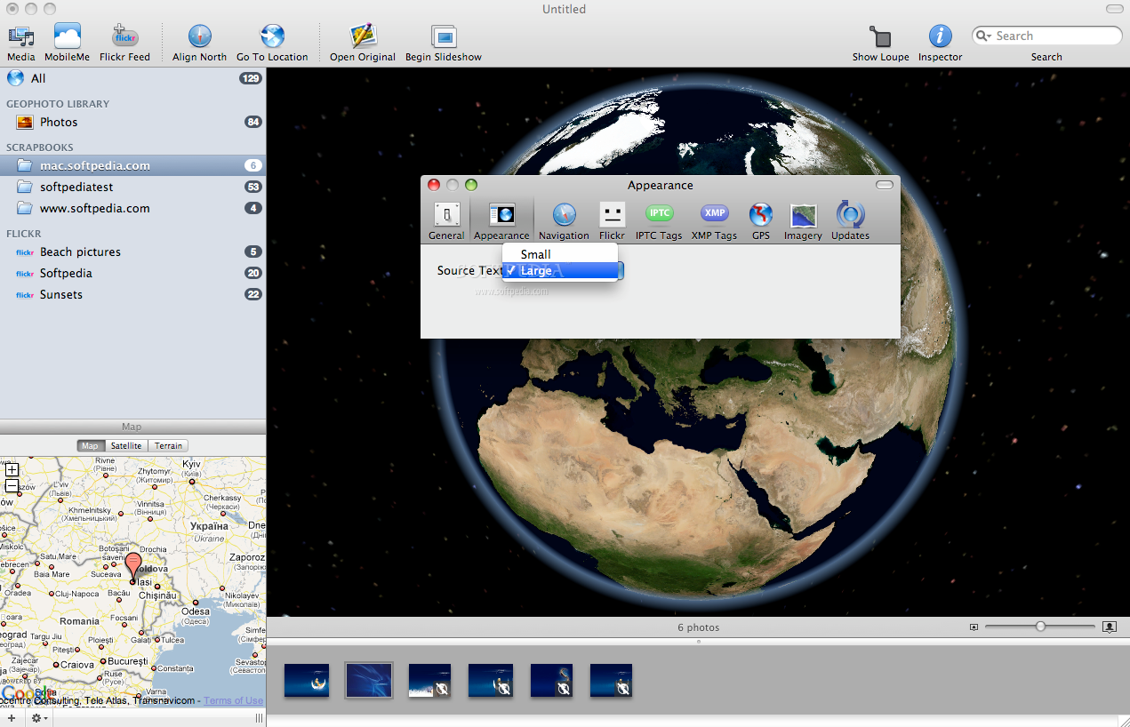
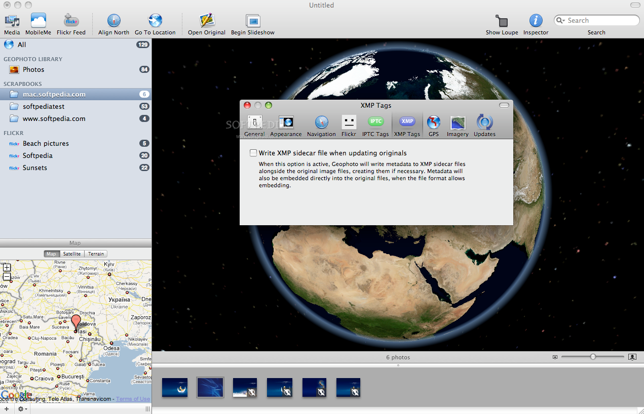
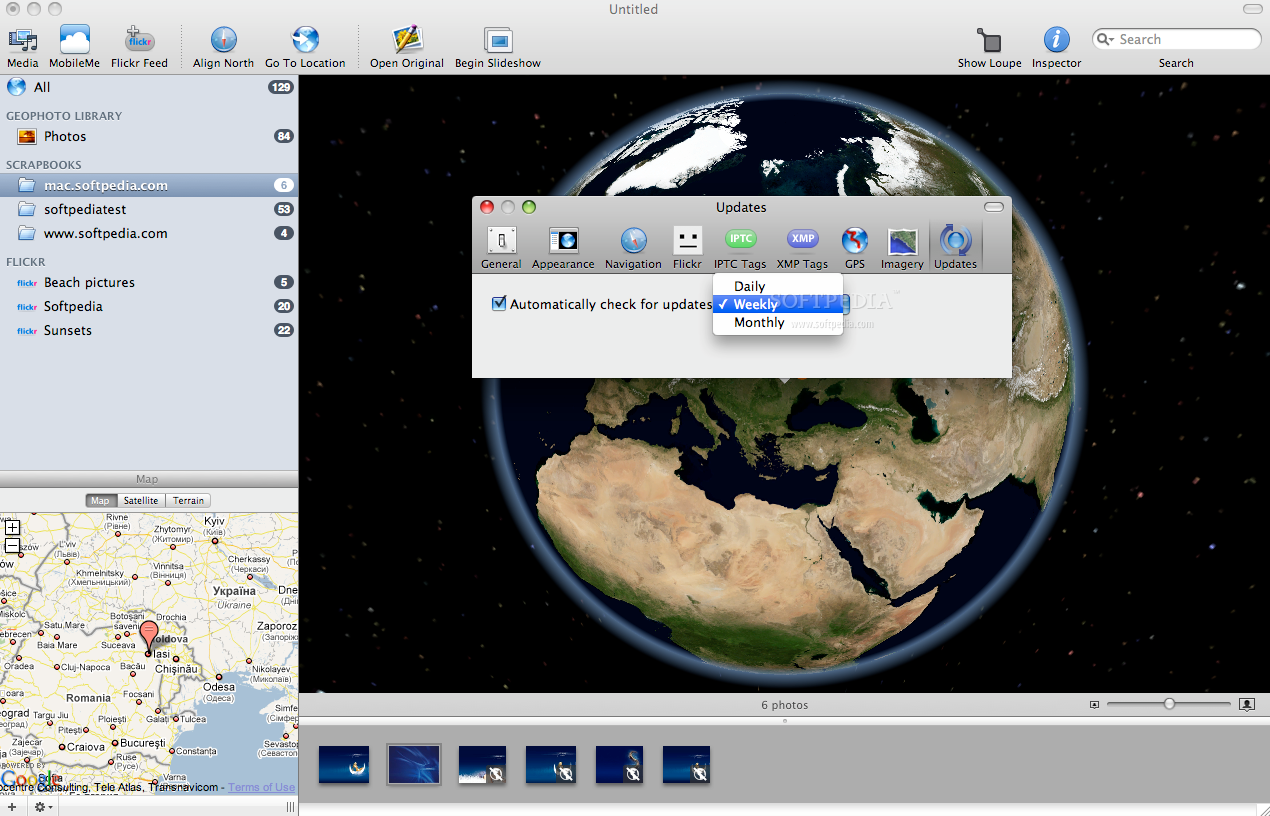
The navigation mode for the entire application can be customized to suit your needs from the Preferences window allowing you to invert the mouse wheel zoom direction, to specify the double-click effect but also to set Geophoto to change the location information of the already tagged images by a simple drag and drop. The same area allows you to set the source text size and the Geophoto behavior at startup and when closing libraries.
The Good
The Bad
The Truth
Here are some snapshots of the application in action: