14 DAY TRIAL //
 We all need maps. Even if we are lost in traffic, in the middle of nowhere, or when exploring a new area, it's very important that we have one near us. With the advancement of technology, we can have one even on our phone, or other mobile device, so that we never get lost in traffic.
But maps were more than simple pieces of paper even from their first days. When they first appeared, maps were used to draw various trails that were safe to go and were mainly used for commerce. With the advancement of time, their usage area increased, and they were even used by pirates in search of hidden treasures.
Nowadays, maps can cover all areas, from science to their original geographic-orientation purpose. But some of us will sometimes need custom maps, in order to have access to specific areas, or to create some professional maps for reports, presentations and books. For these things, and many, many more, Ortelius was created.
The Looks
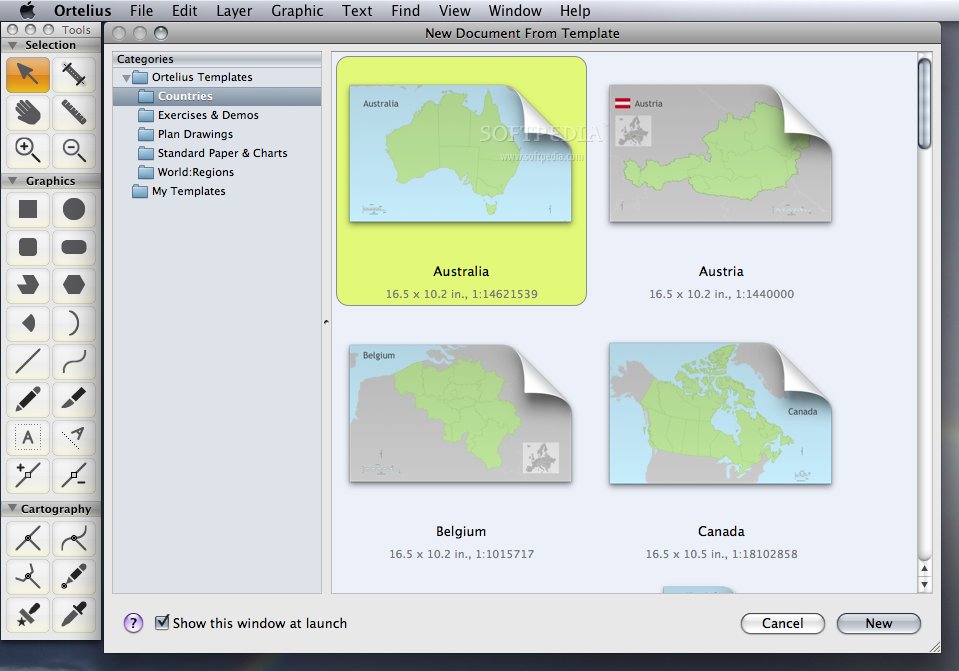
Ortelius is a vector-based map-creation program that is pretty simple to use, once you get the hang of it. Upon starting it, you can select one of the many templates available for you, or, if needed, even start a new map from scratch. But doing that requires a little more time and concentration.
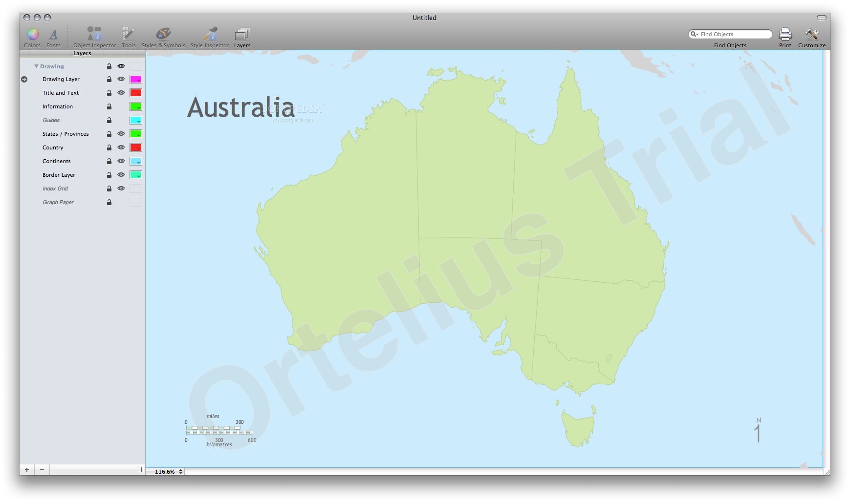
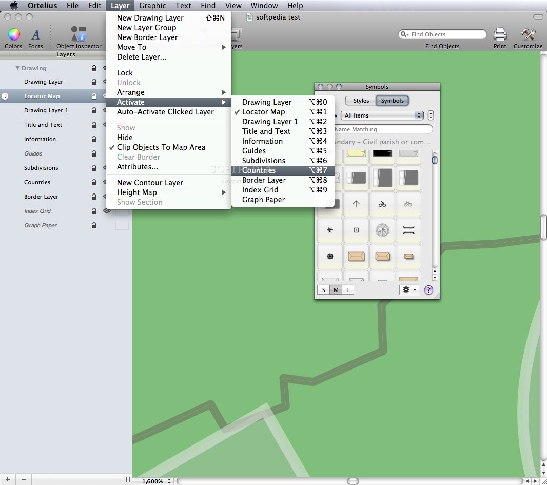
A template is, most of the times, sufficient for what you may need to do. Layers and roads, selections and symbols can easily be placed thanks to a professional, yet fully original way of use. You can add text label names, or use map attributions, all accessible from the program's main menus.
They are available from the main interface, or the Finder bar, located on top. So, most of the time, you will work in the same place, without any complicated and too stuffed interface, where you could easily get lost in so many menus.
The Works
As said before, when you first start the program, you can choose from the various templates created by the developers. These feature continent maps, country maps, charts and regions. By selecting one of them, you can quickly edit and customize it the way you need.
Streets can be added from the main interface, and even their orientation can be modified according to your liking. Street labels can also be added the way you need to, on the street itself, or near it, on top of it, or at your own, custom orientation.
When trying to add bridges and tunnels, you will find that this task will require just a few clicks. Their length can be decreased or increased by moving the cursor up or down, so you can easily get them the right way from the start. Over 20 tools are available for selection, drawing and navigation, so it will be easy to edit and modify your map the way you want, in a record time, without too much stress.
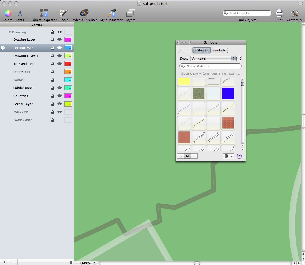
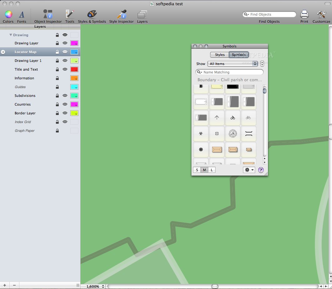
The styles and symbols are pretty important when you choose to create a new map from scratch. There are lots of predefined styles that you can choose to use, from a backyard style to a world style. All can be created and modified based on the needs and importance. Another fun thing about Ortelius is that you can create a coastal area map.
Tracing is very important here, so you may want to get it done the right way the first time. But it's nothing wrong if you can't get it right then, as you can always come back and edit a map.
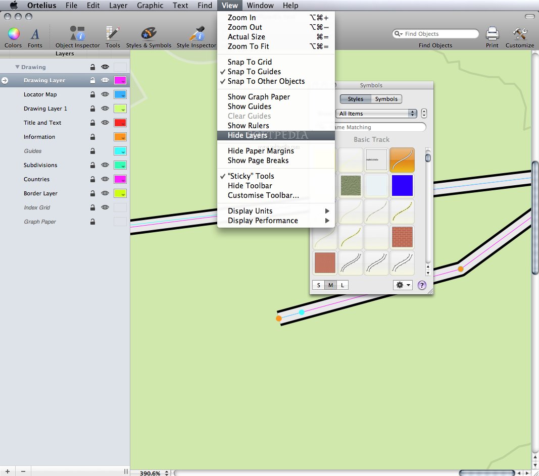
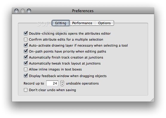
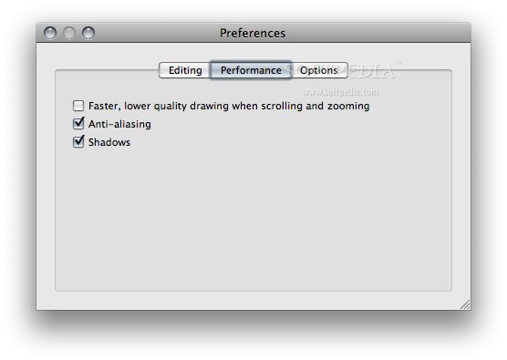
Bezier curves are used to create the roads. They are pretty hard to master, so you might have a mild headache when using the program the first time, if not familiar with vector drawing. In the preferences panel, you will see that most of the important aspects of the software can be customized.
You can choose the templates, auto-complete tracks, or choose the metric units that fit your style. As you can see, they vary, and only help you get the right combination of tools needed for a nice experience when using Ortelius.
You can convert objects to paths, shapes and connectable paths, or the other way around, thus giving you the possibility to customize and create a good combination of tools that may be used in your work.
The Good
The Bad
The Truth
Here are some snapshots of the application in action: