A straightforward tool designed to help you open and render over 75 geospacial vector, images, grid and database layer data formats. #Raster image Viewer #GIS editor #GIS map #Viewer #Graphic #View
TatukGIS Viewer is an advanced GIS mapping application that comes with support for most raster image and GIS/CAD file formats, as well as ArcView, MapInfo and ArcExplorer professional projects.
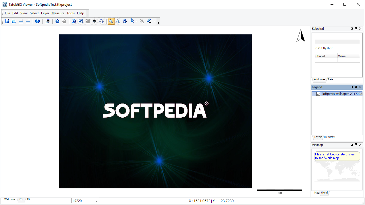
The program comes with common GIS functionality and provides you with an extensive feature set, enabling you to include multiple vector file formats in a single project, organize, group and prioritize layers, customize layer properties, the legend and the map appearance by changing colors and styles, adding labels and adjusting the transparency.
It is worth mentioning that the tool supports a wide variety of file formats, vector and database, such as JPEG2000, OSM, S57, CSV, JSON, CADRG, GeoTIFF, ESRI ArcSDE & ArcSDE Raster, OpenGIS SQL Layer, Oracle Spatial & GeoRaster, MSSQL Spatial Server, so on and so forth. New layers can be easily added from a remote server (WMS, WFS or ECWP) and standard topological operations (such as intersections or unions) can be performed. Spatial querying and selection options are also available. The map hints supply information about any point under the mouse cursor, while the URL hotlink feature helps you link map shapes to any website.
In addition to the vast array of file formats, the application comes with a set of map measurement tools for determining distances, areas and perimeters. It features advanced zooming capabilities and allows standard or template-based printing. A wide collection of geographic coordinate systems is available, but you can also add user-defined ones. The program features automatic coordinate system recognition and real-time map display.
Thematic mapping, pixel layer manipulation tools, custom map geometry, filtering and SQL query support, advanced labeling options, support for large vector files, PDF and ASP.NET exporting capabilities are other advantages that this application comes with.
Despite its name, TatukGIS Viewer is not just a simple utility for opening and viewing GIS and CAD files. Its advanced feature set makes it a winner in its category, providing you with a comprehensive tool for rendering high-quality maps and working with GIS data.
Download Hubs
TatukGIS Viewer is part of these download collections: Open SHP, View DCW, View SHP
What's new in TatukGIS Viewer 5.71.0.3012:
- New features:
- [EDT-3473] Add GridToPolygon tool
- Bugs:
- [EDT-3474] Sometimes AV upon closing scripter's created forms (Python,Scripting)
TatukGIS Viewer 5.71.0.3012
add to watchlist add to download basket send us an update REPORT- PRICE: Free
- runs on:
-
Windows 11
Windows Server 2019
Windows Server 2016
Windows 10 32/64 bit
Windows Server 2012
Windows 2008 32/64 bit
Windows 2003
Windows 8 32/64 bit
Windows 7 32/64 bit
Windows Vista 32/64 bit - file size:
- 163 MB
- main category:
- Multimedia
- developer:
- visit homepage
Microsoft Teams

ShareX

Zoom Client

IrfanView

Bitdefender Antivirus Free

4k Video Downloader

7-Zip

calibre

Windows Sandbox Launcher

paint.net

- calibre
- Windows Sandbox Launcher
- paint.net
- Microsoft Teams
- ShareX
- Zoom Client
- IrfanView
- Bitdefender Antivirus Free
- 4k Video Downloader
- 7-Zip