A professional map designing and GIS data analysis application that includes advanced modeling tools and data processing features. #AutoCAD map #Map design #GIS designer #AutoCAD #GIS #Map
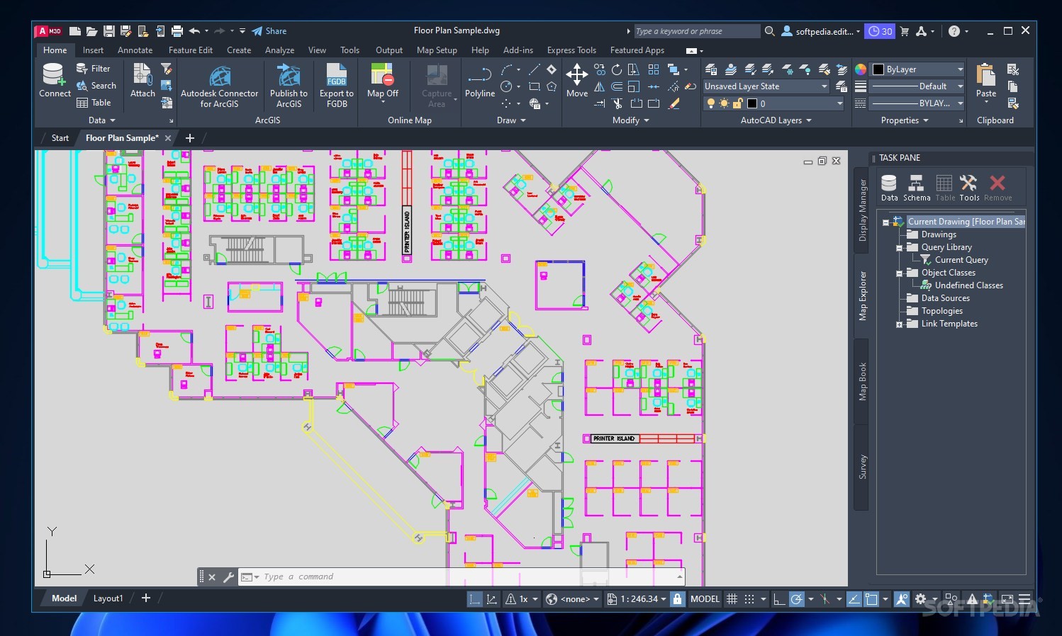
AutoCAD Map 3D is an industry-leading GIS application that bundles a rich set of features, ready to assist you in analyzing geographical and topological data, as well as generating professional mapping models.
The complexity of the application recommends it to GIS professionals and engineers, providing them with all the tools they need for infrastructure design, efficiency analysis and GIS imagery management. Nevertheless, the interface appearance and the way options are organized inside it makes it very easy to work with.
Relying on a powerful modeling engine, AutoCAD Map 3D can import and process data from different sources, including 3D scanners and convert it to industry models.
The array of available drawing instruments helps you create maps to scale, modify elements, manage layers and edit attributes that affect the entire project. There are multiple visualization styles that you can apply, enabling you to display the map in 2D or 3D.
The application comes with options for managing coordinate systems or creating new ones from scratch, inserting standardized map symbols into your project, generating dynamic legends (with adjustable data) and scale bars, creating linear referencing systems, building maps and topologies, generating plans and complete reports.
Its flexibility allows it to adapt to various display standards, while the seamless integration with other CAD application enables you to easily export the project for further processing. Alternatively, maps can be published online.
AutoCAD Map 3D finds its practical use in various fields. For instance, it can help engineers to easily find facilities that are connected to a piping system and notify customers about upcoming repair work that might interrupt the service.
AutoCAD Map 3D features powerful design, visualization and analysis options that help engineering professionals generate stylized maps and plans. It can be of assistance in creating maintenance schedules and managing infrastructure components from within an intuitive working environment.
Download Hubs
AutoCAD Map 3D is part of these download collections: GIS Tools
What's new in AutoCAD Map 3D 2024:
- Use Feature Data Objects (FDO) technology:
- Work with spatial data from a variety of CAD and GIS data formats and coordinate systems.
AutoCAD Map 3D 2024
add to watchlist add to download basket send us an update REPORT- runs on:
-
Windows 11
Windows 10 64 bit - file size:
- 10.8 MB
- main category:
- Science / CAD
- developer:
- visit homepage
Microsoft Teams

4k Video Downloader

IrfanView

ShareX

7-Zip

calibre

Zoom Client

Windows Sandbox Launcher

Bitdefender Antivirus Free

Context Menu Manager

- Windows Sandbox Launcher
- Bitdefender Antivirus Free
- Context Menu Manager
- Microsoft Teams
- 4k Video Downloader
- IrfanView
- ShareX
- 7-Zip
- calibre
- Zoom Client