Work with geographic, vector and seismic information, as well as perform various geospatial data conversions with the aid of this application. #Latitude converter #Convert coordinate #Earthquake analyzer #Geofence #Earthquake #Latitude
Geographic Calculator is software solution created to provide a simple means of converting, translating and working with geospatial data.
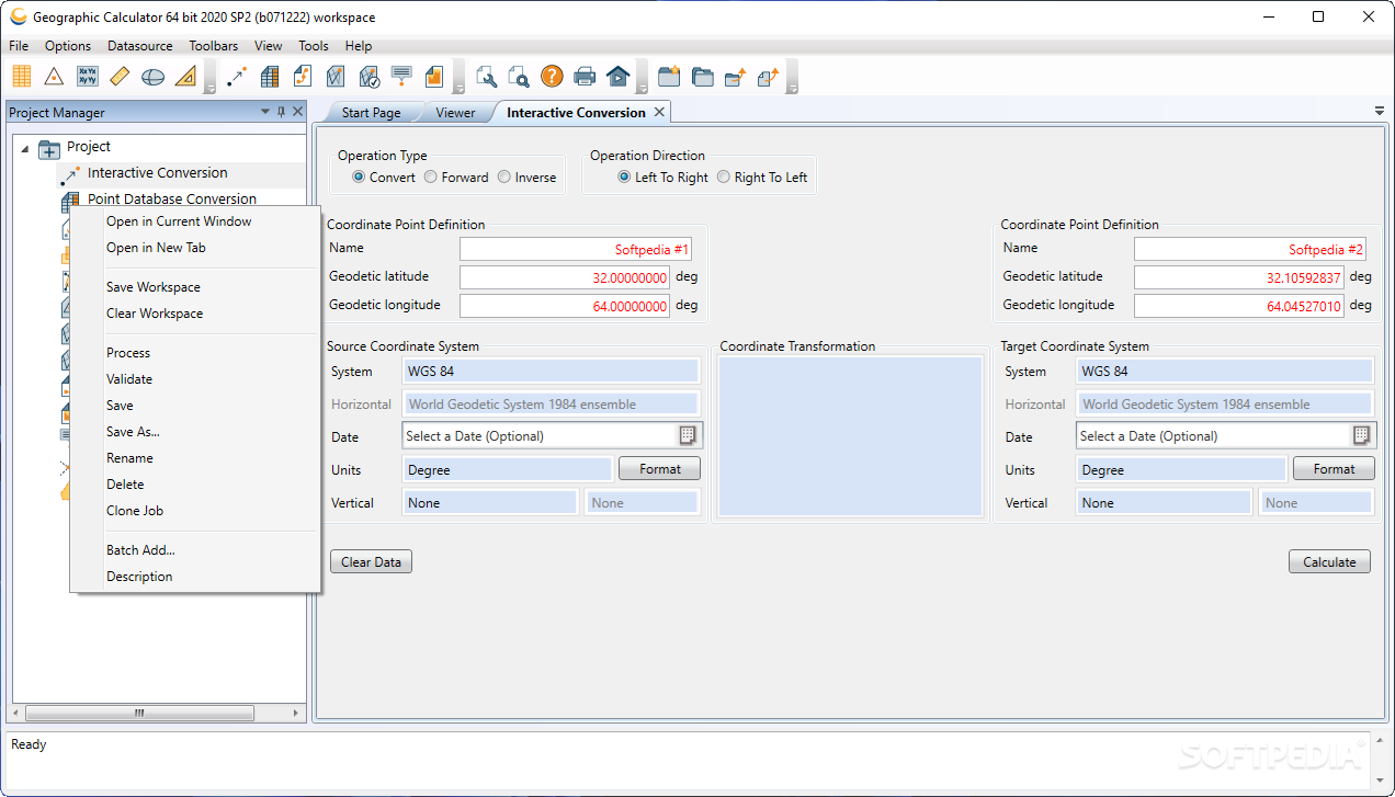
The application offers you the possibility to easily perform ‘Interactive’, ‘Point Database’, ‘Seismic Survey’ and ‘Vector Data’ conversions. The calculations can be inverse, best fit, scale and translate and derive datum shift.
Geographic Calculator displays a comprehensive interface which allows you to easily insert the data you have and extract the one you need. It offers you a project manager that you can use to organize your projects and share them.
Regardless of the data processing type, the steps required to obtain the results are basically the same. You select the input data, operation type and simply click the ‘Calculate’ button.
With this tool you are able to use major GIS formats such as GeoTIFF, Mapinfo Table, ESRI World (TFW, WLD, JGW), BMP, JPG2000, Enhanced Compressed Wavelet (ECW) and LizardTech's MrSID. You also get to edit geodetic data sources, import information from new ones or export it to XML format with the use of a large number of data source commands.
Geographic Calculator enables you to edit and convert SEG, SPS and UKOOA files. The applications is built to take in consideration large and complex data processing cases and is capable of saving you hours of calculation time.
In case you need to, the application allows you to transform several images in one go and can even create custom processing templates which can use for recurring projects. Moreover, you can even string string together different types of jobs.
To make sure everything is in order, Geographic Calculator offers offers the use of a viewer which allows you to check the data prior to conversion.
In conclusion, considering the above advantages and the fact that there is much more to discover about Geographic Calculator, it’s a sure thing when saying that if you need a complete geospatial data conversion tool, this one should be on top of your list.
Geographic Calculator 2020 SP2
add to watchlist add to download basket send us an update REPORT- runs on:
-
Windows 11
Windows 10 32/64 bit
Windows 8 32/64 bit
Windows 7 32/64 bit
Windows Vista 32/64 bit
Windows XP 32/64 bit - file size:
- 262 MB
- filename:
- Geographic_Calculator-2020sp2x64.exe
- main category:
- Science / CAD
- developer:
- visit homepage
Zoom Client

ShareX

Context Menu Manager

Bitdefender Antivirus Free

4k Video Downloader

7-Zip

Microsoft Teams

IrfanView

Windows Sandbox Launcher

calibre

- IrfanView
- Windows Sandbox Launcher
- calibre
- Zoom Client
- ShareX
- Context Menu Manager
- Bitdefender Antivirus Free
- 4k Video Downloader
- 7-Zip
- Microsoft Teams