View, edit and create shape and DBF files, rectify raster images, convert shape files to DXF format or to a HTML5 page, analyze areas and surfaces, all with this application. #Edit map #Convert map #GIS to DXF #Map #Raster #Editor
Smart GIS is a lightweight software program which allows you to work with raster images. It can be handled by users who specialize in GIS.
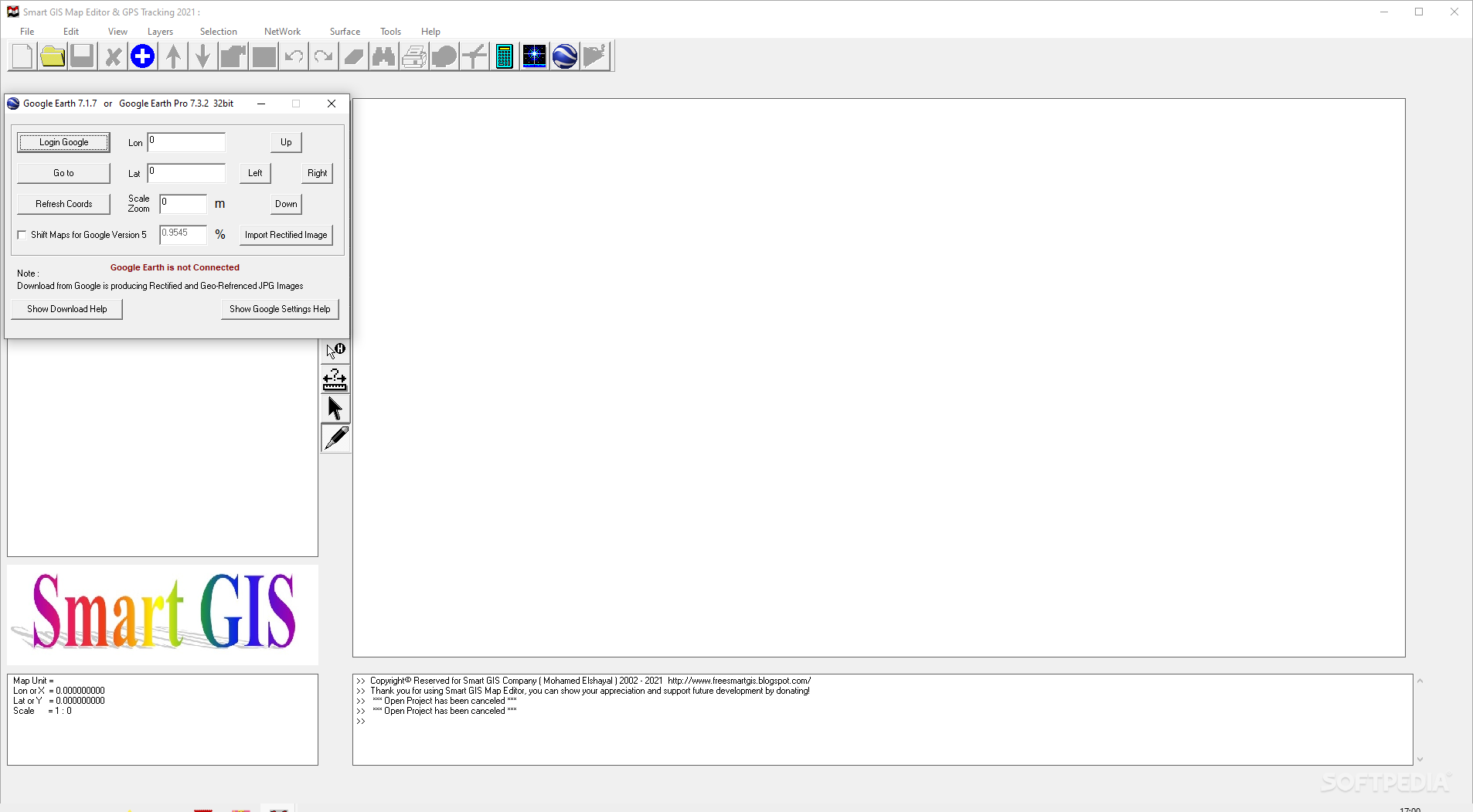
The interface of the application is plain and intuitive, so you shouldn't have any problems in discovering its features if you are already familiarized with similar tools.
Smart GIS comes equipped with some standard functions, such as zoom, pan, box selection, identify, hyper link and measure.
You can create new layers which focus on points, polylines, polygons and multiple points, as well as on combinations of these items. It is possible to automatically balance the image, go to a custom-scaled layer in Google Earth, validate layer boundaries, and edit the layer data table.
You can use the undo and redo functions, insert and snap vertexes, rotate or scale the image, find items by data, divide polygons or polylines, combine multiple parts into a single one, toggle 3D viewing mode, as well as calculate the area and volume of the shape, among others.
Smart GIS runs on a low-to-moderate quantity of CPU and system memory, has a good response time and supports keyboard shortcuts. No error dialogs have been displayed during our testing and the program did not freeze or crash. Since it integrates some advanced features, Smart GIS is primarily addressed to skilled users.
Elshayal Smart GIS 23.02
add to watchlist add to download basket send us an update REPORT- PRICE: Free
- runs on:
-
Windows 10 32/64 bit
Windows 8 32/64 bit
Windows 7 32/64 bit
Windows Vista 32/64 bit - file size:
- 5.9 MB
- filename:
- Smart GIS Map Editor 23_02.zip
- main category:
- Science / CAD
- developer:
- visit homepage
Microsoft Teams

Windows Sandbox Launcher

7-Zip

ShareX

Zoom Client

IrfanView

4k Video Downloader

Bitdefender Antivirus Free

calibre

Context Menu Manager

- Bitdefender Antivirus Free
- calibre
- Context Menu Manager
- Microsoft Teams
- Windows Sandbox Launcher
- 7-Zip
- ShareX
- Zoom Client
- IrfanView
- 4k Video Downloader