Analyze, edit or create GPS maps from scratch compatible with various formats with the help of this powerful and easy-to-use application #GPS map builder #Map creator #Map editor #GPS #Map #Create
Evolution in technology nowadays allows you to easily plan and follow even the most complex routes, either while on foot or driving. This can be done with GPS devices that contain complex mapping systems, which can be created with specialized applications such as Mapwel.
At its core, the application is design to provide a friendly environment in which to create, analyze or edit GPS maps. Compatibility is a plus, since you can load an abundance of map formats, ranging from MPW, GPX and MP to WMF, GDB, CMX or OSM. Not only this, but changes you make can be exported to the same format without damaging it.
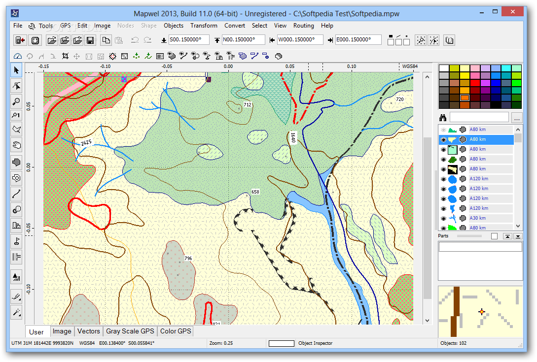
The application puts a well-organized workspace at your disposal, with a large editing area and a few side panels fitted either with editing tools or a browser to quickly locate objects. Rulers provide a little boost in accuracy, as well as a grid to which you can choose to snap objects.
Much designed like an image editing application, you mostly get to work with drawing tools. These let you fully configure geometrical shapes, lines, as well as specialized objects for locations or routing. Customization is also an important aspect, with the possibility to define shape, size and color.
What's more, each object is placed on a specific, customizable layer for a better arrangement. You can enable or disable visibility for certain objects, and even group them together. Technical details are not overlooked, with options to set exact coordinates, assign address format, GPS notification priority, copyright info and more.
To sum it up, Mapwel provides a suitable environment to edit or create GPS maps from scratch. It mostly comes in handy for areas with outdated maps or if you only want to create a custom area with places only of interest to you. The intuitive interface and compatibility with various map formats make it definitely worth a try.
What's new in Mapwel 2017 Build 17.0:
- Fix to import of Ozi Exporer .map files
- Fix to import of .wpt and .plt files
Mapwel 2017 Build 17.0
add to watchlist add to download basket send us an update REPORT- runs on:
- Windows All
- file size:
- 21.2 MB
- filename:
- mapwel32_setup.exe
- main category:
- Science / CAD
- developer:
- visit homepage
Zoom Client

Bitdefender Antivirus Free

ShareX

4k Video Downloader

Microsoft Teams

calibre

Context Menu Manager

IrfanView

7-Zip

Windows Sandbox Launcher

- IrfanView
- 7-Zip
- Windows Sandbox Launcher
- Zoom Client
- Bitdefender Antivirus Free
- ShareX
- 4k Video Downloader
- Microsoft Teams
- calibre
- Context Menu Manager