Convert, edit, or prepare GPS data for use with your device, taking advantage of compatible formats for all the popular GPS systems out there. #Convert route #Map viewer #Display waypoint #Route #Map #Waypoint
RouteConverter is all about offering outdoor enthusiasts a way of converting all that GPS data they've collected into something tangible or visible, to be more precise. Add the fact that you can carry it on a thumb drive and you should literally carry it with you on all planned expeditions in order to have all your routes mapped before or after you have already enjoyed them. It's a simple and intuitive app dedicated to a handful of people.
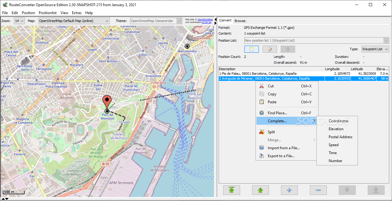
The application is comprised of a left-side map view and a right-side panel with adjustments and functions for your added GPS positionings. Of course, you'll have to add your file before starting to work on it. The first thing you should do is either use the drag and drop function or browse for your file. Among usable formats, one can enumerate GPX, CSV, KML, and KRT.
Plain text also works with this app, so regardless of what type of GPS device you're using, the file it produces after registering your numerous positions should be compatible with RouteCovnerter. The interface is, as you've probably already imagined, functional, basic even. It's enough for all outdoor fans as it can easily be seen as a tool rather than a full-fledged app.
The program also works in the opposite direction. You can add locations to a map, and export the file for use with your device. It can program walking or driving routes and have these adjusted depending on the user's preferences. Decide on what types of roads to avoid or which part of town to pass through. It's indeed useful for planning, as it is for analyzing one's already completed actions.
Make sure the timezone, coordinates format, and system of measurement are adequately set. Adjust other elements such as map correction and coordinates being shown at mouse position. Have all waypoint descriptions visible in case you need to better understand your bearings for your planned trajectory. One can also adjust the color of waypoints for an even more accurate planning of one's route. Thus, RouteConverter is the best possible option if you'd like to either edit or prepare files for use with your GPS.
RouteConverter 3.0.375 / 3.1.384 Pre-release
add to watchlist add to download basket send us an update REPORT- runs on:
-
Windows 11
Windows 10 32/64 bit
Windows 8 32/64 bit
Windows 7 32/64 bit
Windows Vista 32/64 bit - file size:
- 55.3 MB
- filename:
- RouteConverterWindows.exe
- main category:
- Science / CAD
- developer:
- visit homepage
Zoom Client

calibre

4k Video Downloader

Context Menu Manager

ShareX

Bitdefender Antivirus Free

IrfanView

Microsoft Teams

Windows Sandbox Launcher

7-Zip

- Microsoft Teams
- Windows Sandbox Launcher
- 7-Zip
- Zoom Client
- calibre
- 4k Video Downloader
- Context Menu Manager
- ShareX
- Bitdefender Antivirus Free
- IrfanView