Manipulate GIS data on your personal computer by turning to this collection of tools that come with a Command Line Interface instead of a GUI. #Manipulate GIS data #Raster viewer #Create vector map #Viewer #GIS #Create
FWTools is a bundle of tools that were designed and compiled in order to help advanced computer users handle GIS data without significant efforts. The types of GIS data handling this program can perform for you are viewing various data components or converting raster or vector files without breaking a sweat.
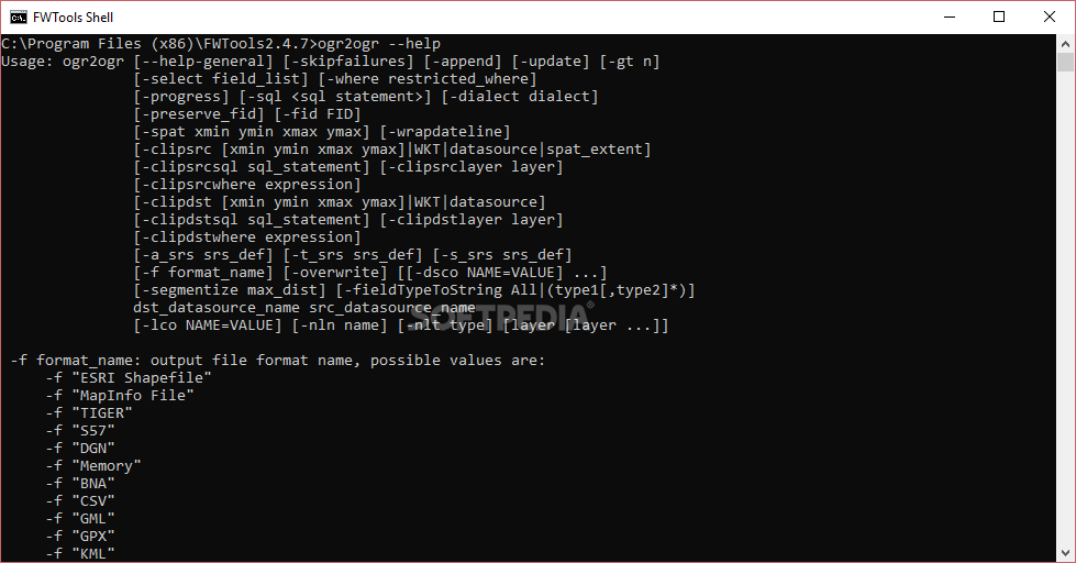
Since the applications were designed without an actual GUI (Graphical User Interface) in mind, most of them can be only summoned through Windows' native Command Prompt feature or by making use of FWTools' proprietary Shell console.
This package includes various tools such as the OpenEV, MapServer, GDAL, PROJ4 and OGDI, as well as the numerous python components that they require to function properly on the target computer.
Although the lack of a proper GUI can make many computer users confuse, the application provides you with a list of operations that each application can accomplish along with their brief descriptions, so that you can understand them better and familiarize yourself with the application in a quicker manner.
All you have to do to reach the help section is to type in the application name in the Command Prompt and append the "--help" argument at the end of your command.
FWTools 2.4.7
add to watchlist add to download basket send us an update REPORT- runs on:
- Windows All
- file size:
- 22.1 MB
- filename:
- FWTools247.exe
- main category:
- Science / CAD
- developer:
- visit homepage
Microsoft Teams

4k Video Downloader

calibre

ShareX

Bitdefender Antivirus Free

Context Menu Manager

Zoom Client

IrfanView

7-Zip

Windows Sandbox Launcher

- IrfanView
- 7-Zip
- Windows Sandbox Launcher
- Microsoft Teams
- 4k Video Downloader
- calibre
- ShareX
- Bitdefender Antivirus Free
- Context Menu Manager
- Zoom Client