Create and edit GPS vector maps. #GPS vector map #Create map #Map editor #GPS #Vector #Map
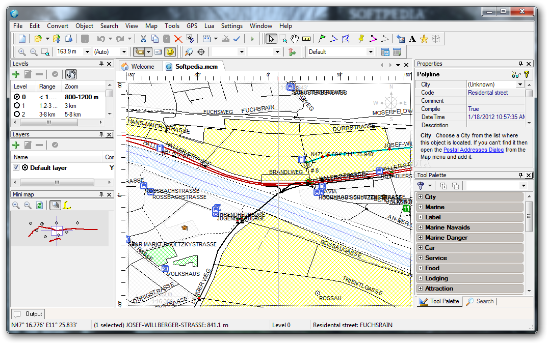
The Martis application was designed to be is a software program that lets you create and edit GPS vector maps visually with the focus on Garmin devices and maps.
A special attention was given ease of use. If you ever worked with a vector graphics program you'll be familiar with creating Maps in a minimum of time. You just have to draw some lines and points. However, the creation of GPS maps is not a trivial task and it takes a lot of time to create a good map even for a small area.
With Martis you can: - Create new Maps for your Garmin device. - Import and edit existing maps from various formats and sources. - Can download Maps from OpenStreetMap. - Edit maps just like as in other vector graphics programs. - Capture position data from a connected GPS device and record tracks. - Calculate short and/or fast routes.
What's new in Martis Lite 1.3.2:
- [MapDraw] Error loading maps with bookmarks (stievie) resolved.
- [MapDraw] More flexible bookmark type (stievie) resolved.
- [Program] Coordinate dialoguse current tracker position (stievie) resolved.
- [MapDraw] DEM importremove lines with less than 3 points option (stievie) resolved.
Martis Lite 1.3.2.117
add to watchlist add to download basket send us an update REPORT- runs on:
- Windows All
- file size:
- 19.9 MB
- filename:
- martissetup-1.3.2.117.exe
- main category:
- Multimedia
- developer:
- visit homepage
IrfanView

Windows Sandbox Launcher

calibre

4k Video Downloader

Bitdefender Antivirus Free

Microsoft Teams

7-Zip

Context Menu Manager

ShareX

Zoom Client

- Context Menu Manager
- ShareX
- Zoom Client
- IrfanView
- Windows Sandbox Launcher
- calibre
- 4k Video Downloader
- Bitdefender Antivirus Free
- Microsoft Teams
- 7-Zip