14 DAY TRIAL //
 If you are interested in your own environment and you are in search of a new toy that makes the classic globe seem a Stone-Age tool, EarthBrowser might be the application you were looking for. All the mapping services available over the Internet are great, but this application is using the Adobe Air technology to push it a little further.
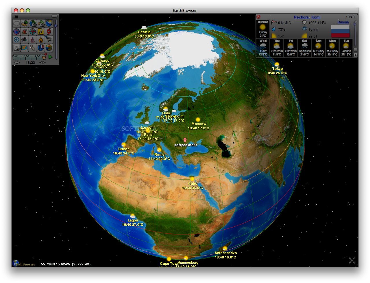
EarthBrowser’s main purpose is to gather information that you can access by visiting a handful of websites in a coherent, easy-to-access and easy-to-visualize 3D representation. Of course, the data is being continuously updated, which means that you will actually have a live model of the planet right on your desktop.
The Looks
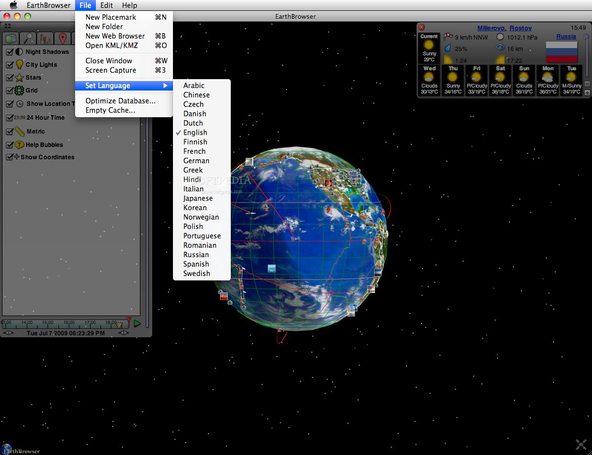
Since the volume of information is very high, EarthBrowser must make the most of the available space, that is why the menus and panels designed to offer access to the features are automatically hidden when not used. This behavior gives you the possibility to have the planet representation before your eyes at all times.
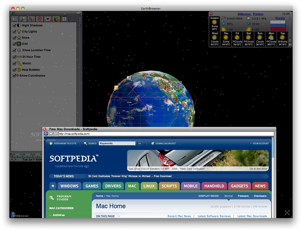
The globe can be very easily rotated by using the mouse, and you can just as easily zoom in or out by using the scroll button. And, to make it even more realistic, you will be able to activate the star background from the Settings panel.
The Works
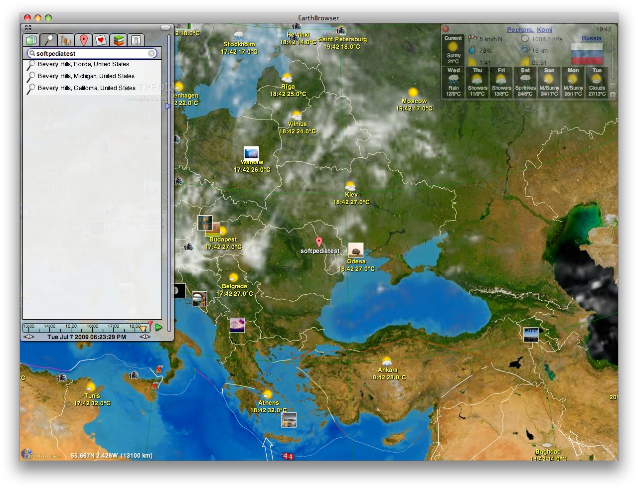
The EarthBrowser interface follows fairly intuitive rules. The main window displays the 3D globe, and you can easily choose what to see from the control menu situated in the top-left corner. When it comes to that particular window, you have the possibility to completely hide it or expand it in order to access the commands. If it is expanded, you can go for the grid or the list view. The first one is great, should you be just browsing around, while the second is more suitable when you want to access a specific type of information.
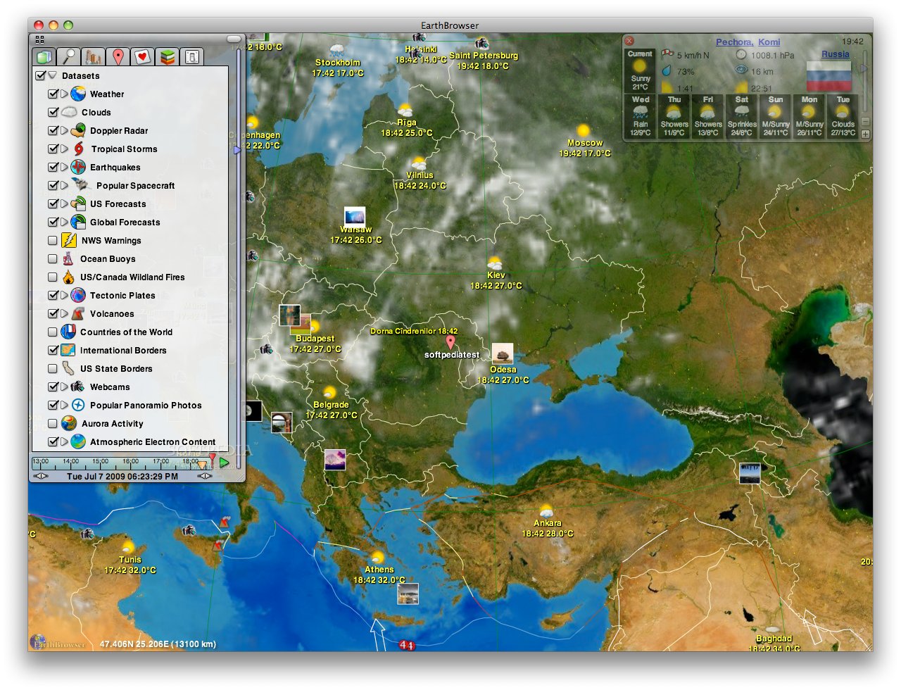
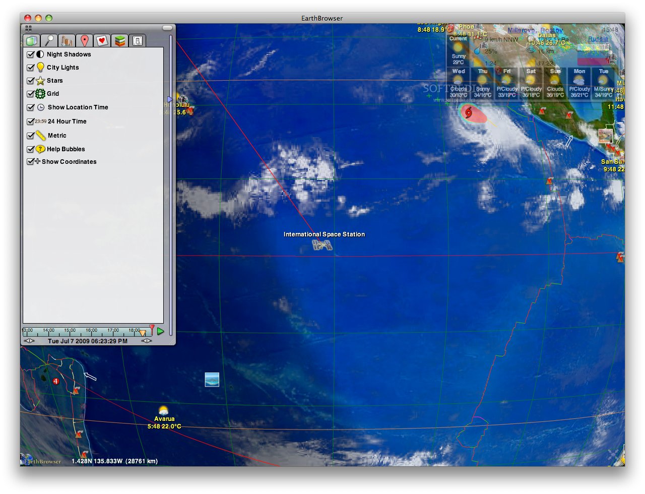
At all times, the control window displays a ruler that allows you to adjust the elevation and a time ruler that permits you to generate animations. In list view, the window is separated in seven tabs: Datasets, Find Location Panel, My Locations, Personal Data, Favorites, Map Layers and Settings.
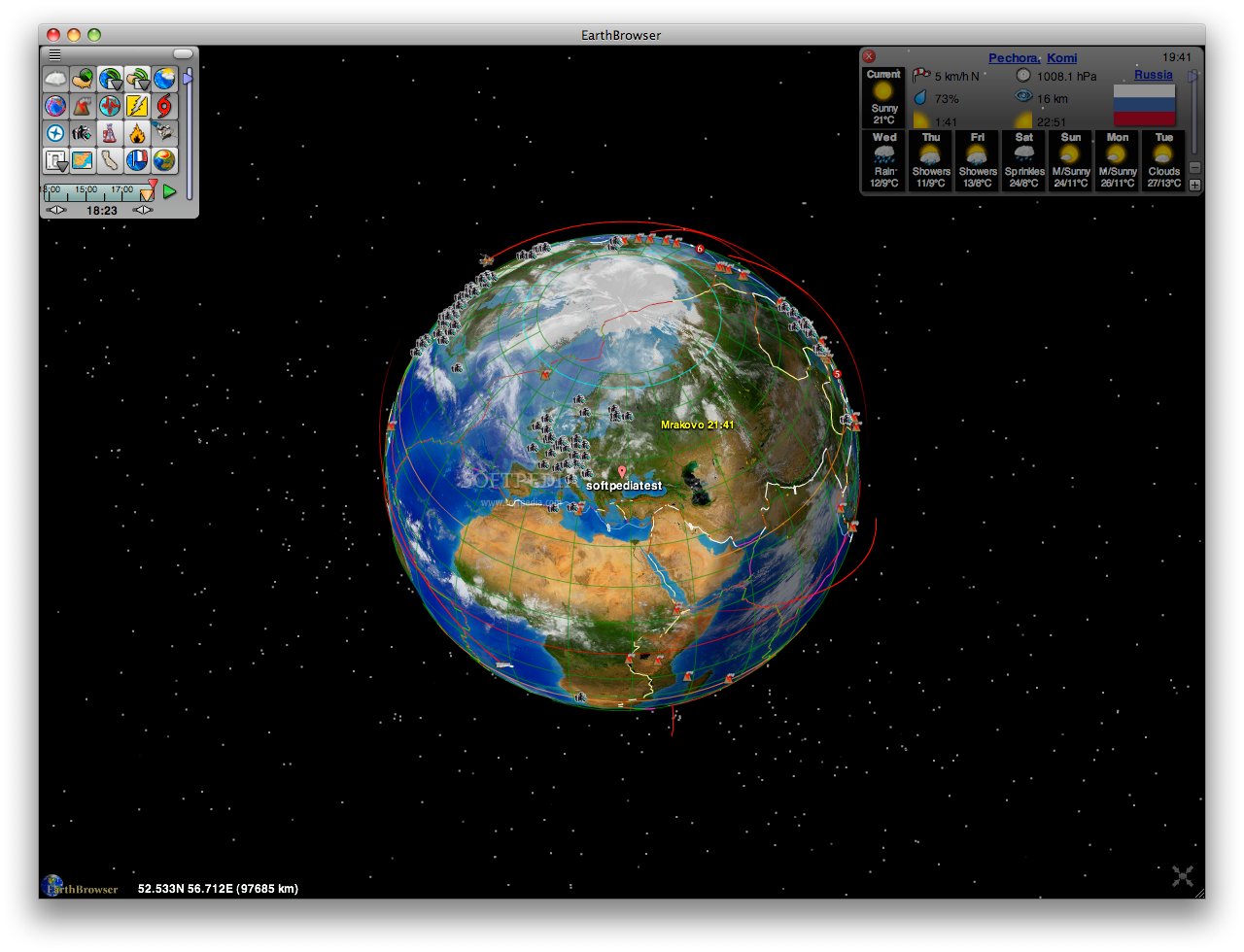
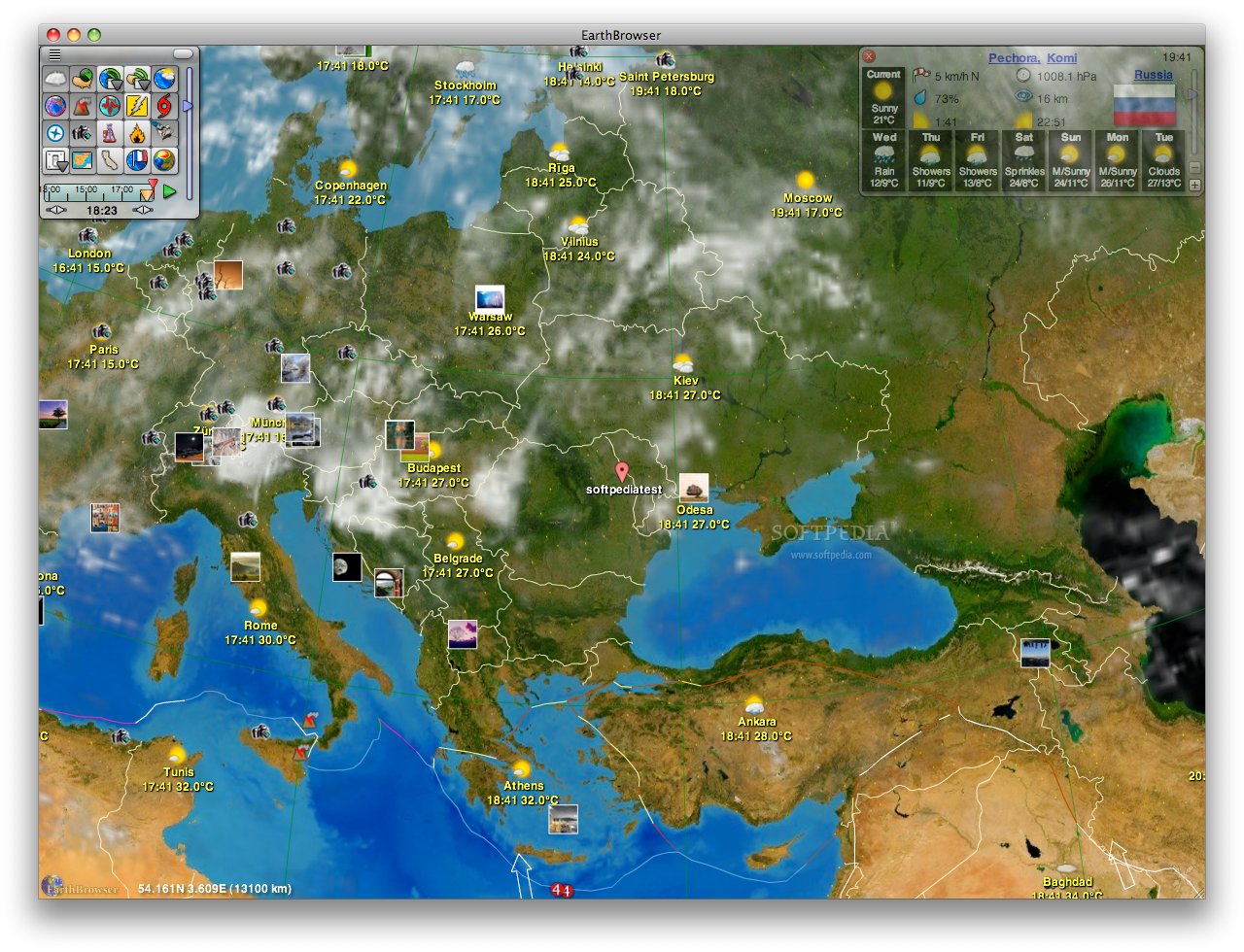
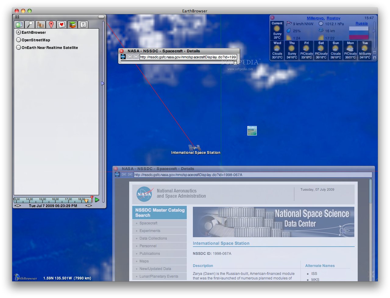
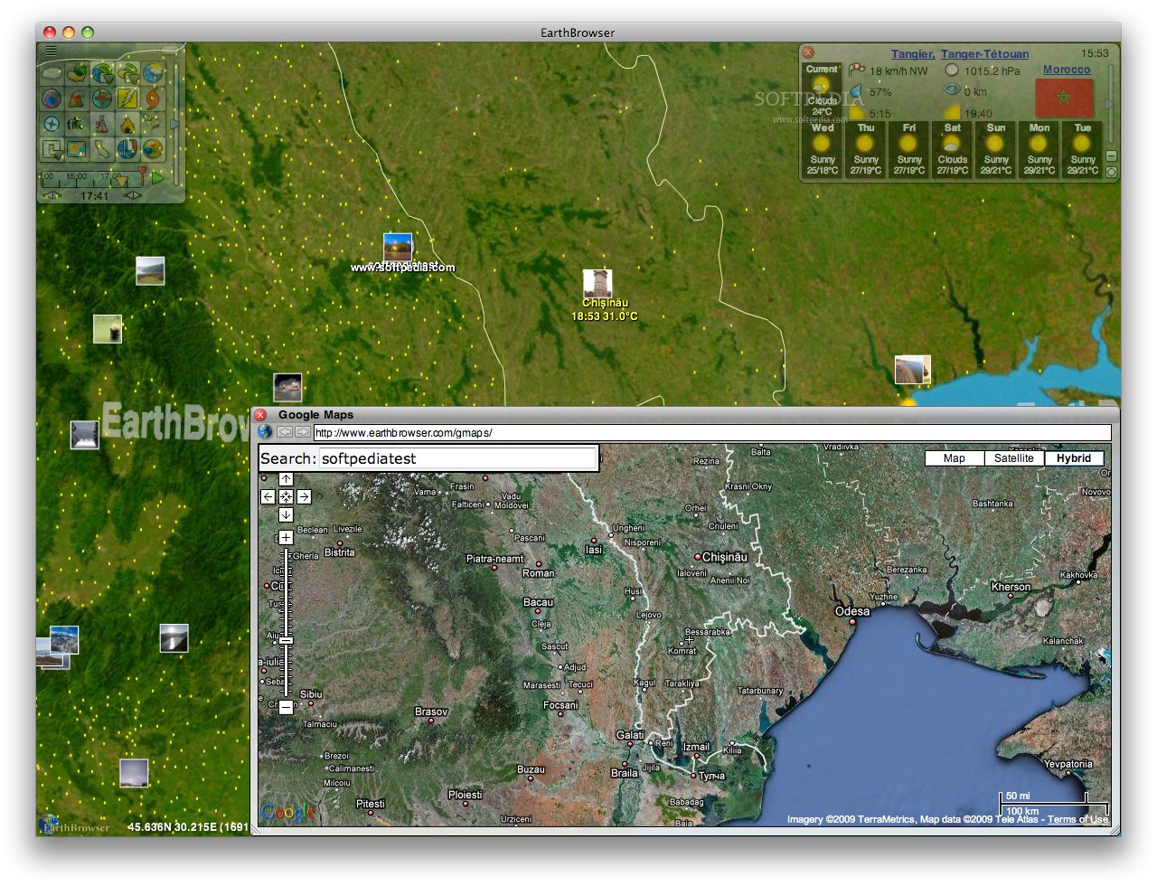
Probably, the most important is the first one, because it gives you the possibility to establish the representation details by activating and deactivating datasets. That means that you will be able to see the weather, the global cloud coverage, the Doppler Radar for the US and its territories, earthquakes, popular spacecraft, the location and activity level of volcanoes, the tectonic plate boundaries, the country delimitations, international borders, US borders and the available webcams.
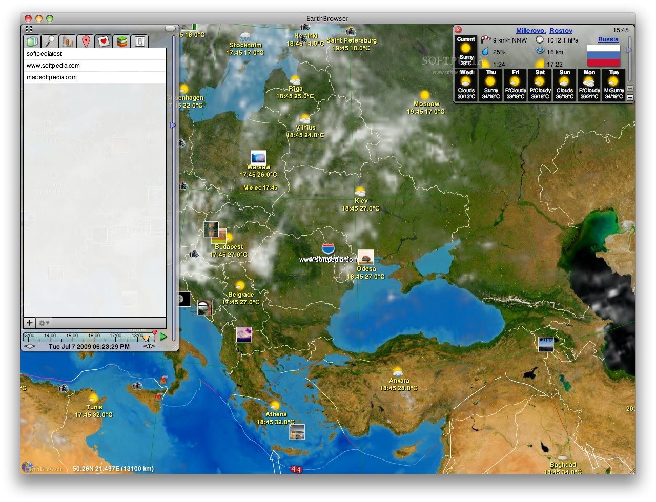
When it comes to weather, you can choose to see the US forecast or the global one, and you will be able to view the details on the top-right corner. Both are offering seven-day forecasts, but only the second is providing data about the ozone layer. In order to see the forecast for a certain location, all you have to do is use the search tab.
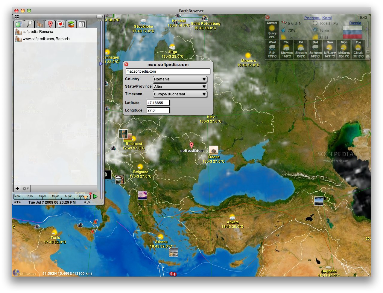
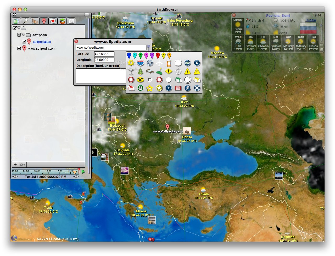
Once discovered, you may also want to add it to your favorites. The My Locations, Personal Data and Favorites tabs are basically designed to allow you to easily create tags every time you find something interesting that you might want to examine later. If the location you want to monitor does not appear in the EarthBrowser database, you can also create your own placemarks.
The last two tabs are containing mostly viewing options. The Map Layers panel allows you to choose the map source, while the Settings pane gives you the possibility to see night shadows on the 3D model, city lights, the graticule grid, to change the measurement unit and activate the help balloons.
The novelty of EarthBrowser is that the 3D model is not only a map, but also a thoroughly documented bookmark database. For each piece of information displayed, you are able to access the website that can offer you more data within the application. The built-in browser is based on the WebKit engine, and you can access it by double-clicking the location name, or the pictures and so on, but also through the File menu.
EarthBrowser detail mapping is currently limited, but you have the possibility to access the Google Maps by using a specialized browser window in order to see specific locations.
The Good
The Bad
The Truth
Here are some snapshots of the application in action: