14 DAY TRIAL //
 Now I know why Superman likes to fly!
Google Earth is an extension to Keyhole, one of Google's satellite imaging programs, that was released earlier. However, Google Earth is drastically different because it is absolutely free. This is a useful application for anyone who lives on Earth.
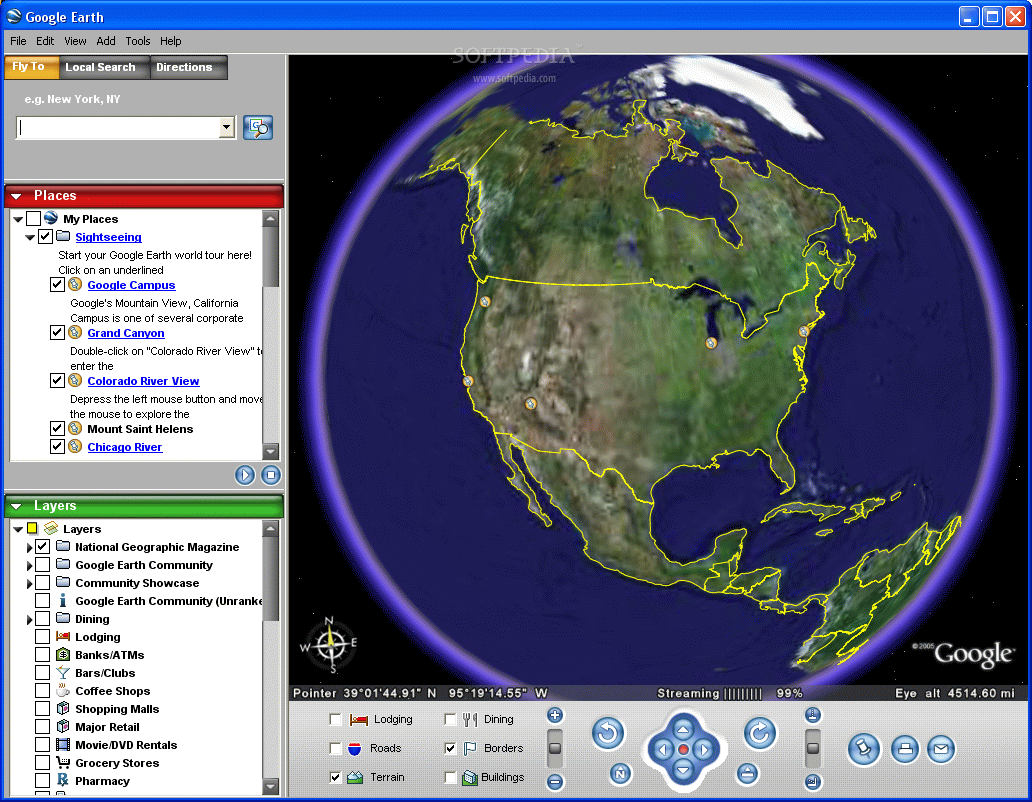
Google Earth is indeed a powerful tool (and only a 10Mb download). After opening the program, you slowly zoom in on Earth from space until you get some X feet away. The world is now completely at your fingertips. You have full control of the pitch, angle, zoom and rotation of an entire planet. You literally feel like a god, well at least I did the first time.
Google Earth's Features
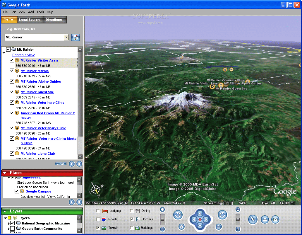
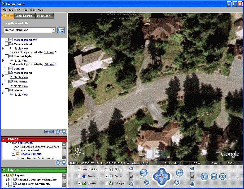
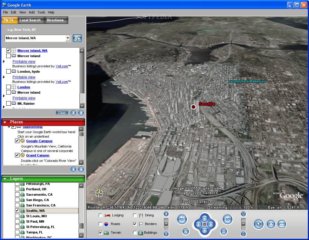
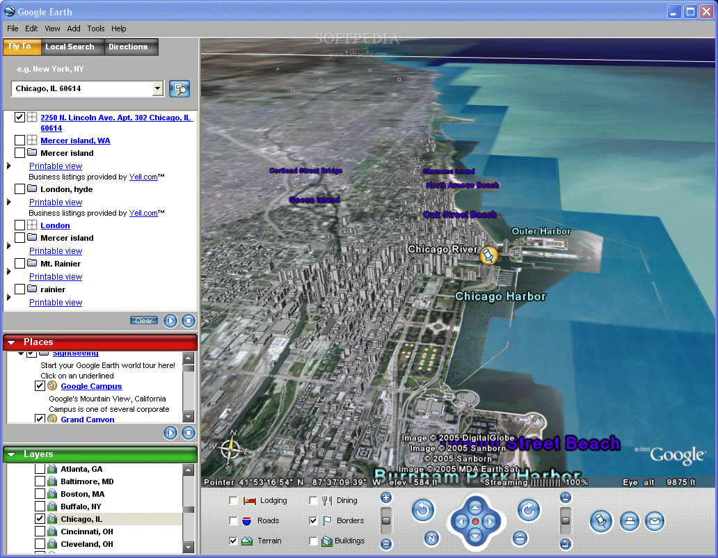
You have the ability to roam around the entire globe and zoom in to incredible views. Aside from its worldwide coverage, it has added 3D views of about forty U.S. cities. Google Earth does have limitations though. Buildings are rendered in gray blocks only, but that's enough to give a perspective of each city's skyline. Its strengths remain within the United State, since that's what it has the most information on.
As long as you have an Internet connection, you don't have to worry about rendering because it grabs the information off a designated server. Google Earth offers one of the more seamless and smooth rides you can take.
Navigation options are easily navigable with the use of a mouse and keyboard. A simple left click drags the world around, holding right click lets you zoom in and out (or use your scroll wheel) and the center button lets you change the angle that you're currently viewing the Earth.
Google Earth's power comes from its functionality. The first, and I think the most useful, attribute is that it relies on layering. There are layers for anything you can think of. You can personalize your Google Earth by filtering out the information you don't need or just plain don't want.
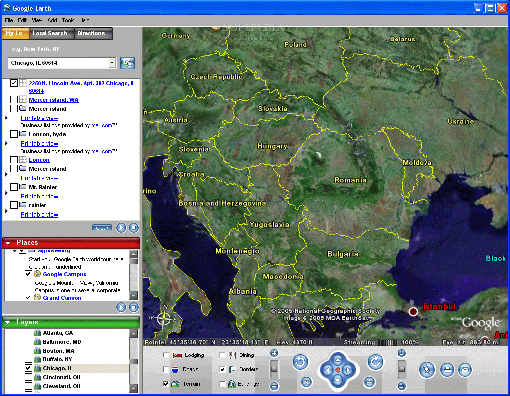
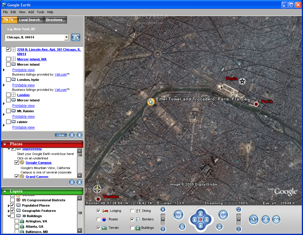
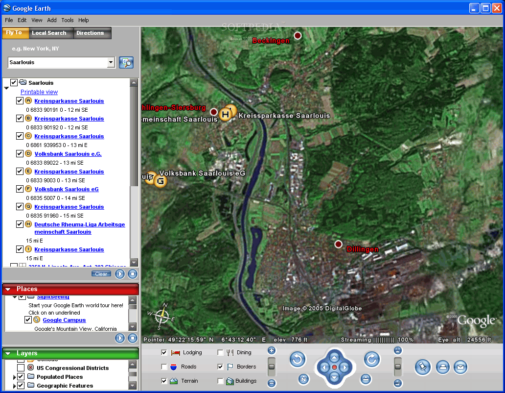
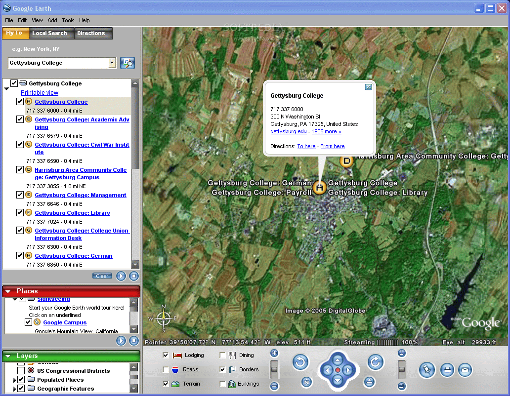
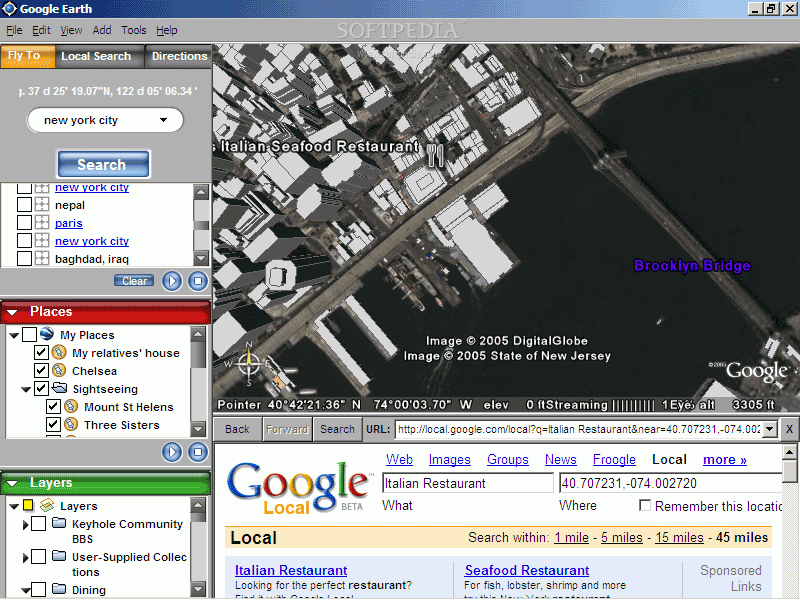
The depth that Google Earth has taken this program to is truly astounding. You can toggle if you want to see country, state and city borders. You can enable restaurant and hotels to appear on your screen. You're able to toggle through banks that are in your area to fast food places. You can search for countries, states, cities and towns just by name. Google Earth gives over one hundred available geographical and business layers to choose from, ranging from crime statistics, businesses to weather, geology and more.
You have the ability to create your very own layers while adding markers and tags anywhere you want. The fun part about Google Earth is that it's totally capable of being personalized. For a little extra, you can upload to Google Earth plus. This version lets you import data from common GPS devices and also lets you draw on your own Google 'Earth'. There's also a Professional version that has printing resolution increased for the professional traveler.
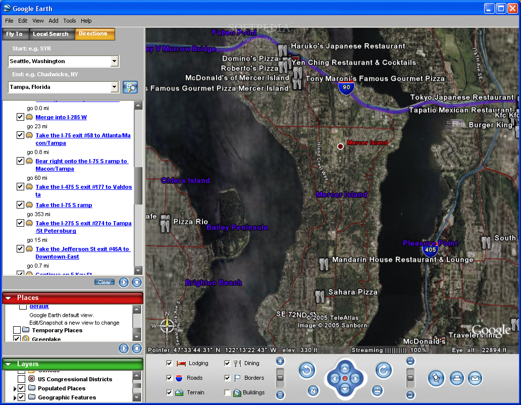
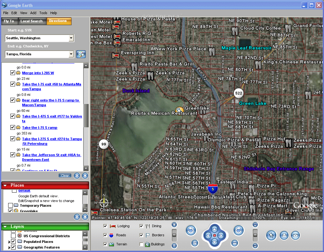
Not only does Google Earth have the ultimate interactive world map, but it also has more practical uses included. A directions function tells you how to get from one place to another. You can even play out your route and Google Earth will 'fly' you through it. Going from Seattle, Washington to Tampa, Forida has never been so easy. It tells you the best route to take, how many miles it'll be and where you can pull in for hotels.
This has got to be one of the greatest recent tools for planning road trips, since you can see every major highway, freeway and road (in the U.S.).
The Good
Where should I begin? The fly by's from one city to another are seamless. The smooth transitions are quite remarkable. You can go to any part of the world and see it from a bird's eye view. It has stunning zoom capabilities and some 3D effects. It has so many layers to choose from that you can search and find almost anything.
The Bad
Its high details are somewhat centered on the United States, the rest of the world doesn't have as good of a zoom. The free version lacks some potentially cool drawing features. Only for Windows 2000 and XP.
The Truth
Google Earth is one of the most interactive tools you can use. You're able to search for restaurants, hotels, motels, banks, stores, etc. in your neighborhood (as well as others). You can scan the entire globe and see places you've never even heard of. Yes, you can't draw on this version, but you can still place markers and tags. There's not good reason why you shouldn't have this application on your computer.
Check out some screenshots below.