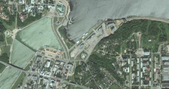
Redmond-based technology titan Microsoft has just rolled out a major update for its Bing Maps service, introducing new high-resolution satellite imagery and bathymetry data from Scripps Institution of Oceanography.
According to Microsoft, the new update comes with over 13 million square kilometers of updated satellite imagery, including new content provided by TerraColor with a resolution of 15 meters per pixel.
“The topography of the ocean floor is represented by color shading (dark blues to light blues) indicating changes in ocean depth. An ocean mask minimizes areas typically obscured by ice and clouds. The combination of the ocean mask and bathymetric imagery provides a more meaningful view of the world oceans,” Microsoft explains.
In addition to the browser-based Bing Maps, the new data is also accessible via the Windows 8 Maps app available in Microsoft’s new operating system.

 14 DAY TRIAL //