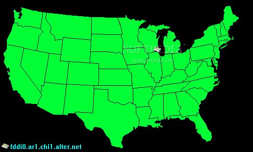
The GeoPing application was designed to be a desktop screensaver that displays a map. Every few seconds, GeoPing sends a "ping" across the Internet to various known servers, and listens for an echo.
The map is colored to indicate the relative speed of that echo. Red colors indicate a hot or fast connection from your computer to that region, while blue colors indicate a cold or slow connection. Average (median) times or areas not near a known server remain green.
Even though there are configurable options about how it displays the data, don't expect GeoPing to be a serious technical tool. It's more eye candy, similar to the colorful crystal display "moodrings" of the 1960s. Your Internet latency and bandwidth depends on more variables than one graph can possibly show, and as you'll see, the Internet is a chaotic system.
- Version:
GeoPing 1.0
- runs on:
- Windows All
- file size:
- 58 KB
- filename:
- GeoPing.zip
- main category:
- Desktop Enhancements
- developer:
- visit homepage
Context Menu Manager

4k Video Downloader

7-Zip

Bitdefender Antivirus Free

Microsoft Teams

Windows Sandbox Launcher

calibre

IrfanView

ShareX

Zoom Client

- IrfanView
- ShareX
- Zoom Client
- Context Menu Manager
- 4k Video Downloader
- 7-Zip
- Bitdefender Antivirus Free
- Microsoft Teams
- Windows Sandbox Launcher
- calibre