A comprehensive, interactive, geographical display that brings together all of the weather products available on ADDS (Aviation Digital Data Service). #Weather information #Flight planning #Wind speed #Weather #Flight #Wind
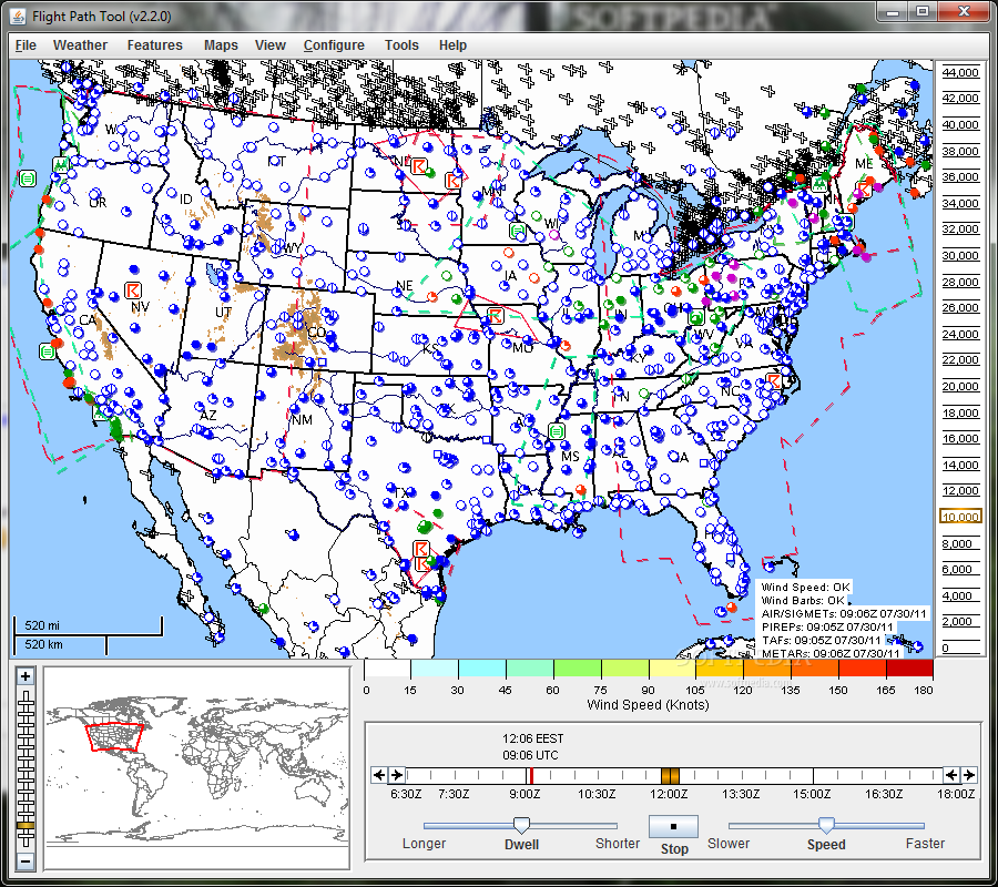
The Flight Path Tool can overlay multiple fields of interest: icing (probability, severity, and super-cooled large drops), turbulence potential, convective diagnosis and forecast, ceiling, visibility, flight category, winds, relative humidity, temperature, radar (base and composite reflectivity), satellite observations (visible, infra-red, and water vapor wavelengths), AIRMETs and SIGMETs, METARs, TAFs, and PIREPs.
All 3D data can be sliced horizontally at selected flight levels or vertically along a flight path. All data can be animated in time.
The tool lets you zoom in to any location on the globe. It automatically switches to the most appropriate projection for the viewed area. High-resolution basemaps show selectively more detail as you zoom in.
In addition to the vertical cross sections along your flight route, the Flight Path Tool allows you to generate meteorograms of observed and forecasted conditions for any METAR or TAF surface station.
Get Flight Path Tool and take it for a spin to see just how useful it can actually be for you!
System requirements
- Java 1.6 or later
- 512MB of RAM
Flight Path Tool 2.2.0
add to watchlist add to download basket send us an update REPORT- runs on:
- Windows All
- file size:
- 2 KB
- main category:
- Internet
- developer:
- visit homepage
Windows Sandbox Launcher

Bitdefender Antivirus Free

IrfanView

Microsoft Teams

calibre

ShareX

4k Video Downloader

Context Menu Manager

Zoom Client

7-Zip

- Context Menu Manager
- Zoom Client
- 7-Zip
- Windows Sandbox Launcher
- Bitdefender Antivirus Free
- IrfanView
- Microsoft Teams
- calibre
- ShareX
- 4k Video Downloader