OzGIS is a system specifically designed for the analysis and display of geographically referenced information and adjacent datasets #Geographical Information System #Geodata Overlay #Map Data Analysis #GIS #Overlay #Quantile
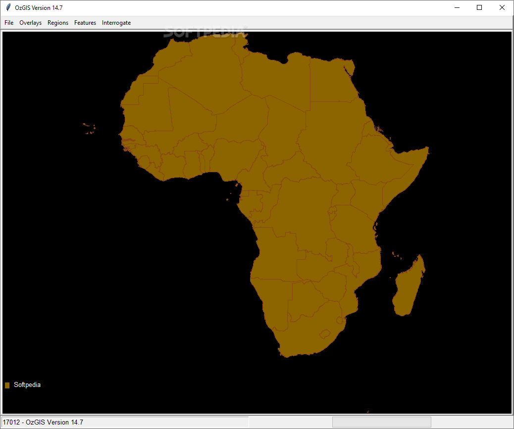
Geographic Information Systems these days have mostly put emphasis on facilitating user-interaction and more often than not this yields overly-complex interfaces and layouts. Focused mostly on displaying geographical data, OzGIS provides users with a minimalist solution that can help them perform GIS analysis and visualize data through the means of a series of simplified commands and controls.
Unlike similar software suites, the working principle of OzGIS revolves around a sequential process and displaying map data might take a while to get accustomed to it. Having imported a valid geospatial file, users can select for the features to be displayed according to the attribute table.
A series of “floating” dock-like menus ensure displaying the options for each feature, and although it might take a little while to get used to them, they are quite convenient in use.
When it comes to the analysis part provided by the app, users have access to a broad palette of functions, which are encompassing a wide range of feature operations. Be it overlays for polygons or line segments, region analysis or just a simple attribute interrogation, all are easily accessible.
Considering its minimalist approach and a quite efficient process, we weren’t able to detect areas that could benefit from improvements. Perhaps a way of segmenting the layout into multiple tiles could be useful for those who require multiple data views simultaneously.
Overall, OzGIS and its collection of tools impresses through its simplicity and working structure, providing users with a compact solution for displaying geospatial data and performing various geographical analysis processes.
What's new in OzGIS 14.7.0:
- Improved Release
OzGIS 14.7.0
add to watchlist add to download basket send us an update REPORT- PRICE: Free
- runs on:
-
Windows 10 32/64 bit
Windows 2003
Windows 8 32/64 bit
Windows 7 32/64 bit
Windows Vista 32/64 bit - file size:
- 66.3 MB
- filename:
- OzGIS.zip
- main category:
- Science / CAD
- developer:
- visit homepage
ShareX

4k Video Downloader

7-Zip

calibre

Zoom Client

Bitdefender Antivirus Free

Windows Sandbox Launcher

Context Menu Manager

IrfanView

Microsoft Teams

- Context Menu Manager
- IrfanView
- Microsoft Teams
- ShareX
- 4k Video Downloader
- 7-Zip
- calibre
- Zoom Client
- Bitdefender Antivirus Free
- Windows Sandbox Launcher