A powerful designer for technical presentations and illustrations with an advanced geographic information system module and map handling options. #GIS editor #Create map #Map projection #GIS #Map #Projection
Canvas X GIS is a special edition of Canvas X that focuses on GIS mapping and editing, boasting a dedicated geographic information system module and GIS-related features. It targets GIS professionals in various sectors and industries, including energy, aerospace, education, government, and more, delivering a powerful application with support for a wide range of GIS formats.
Canvas X GIS can open GIS documents of various types, including ESRI file geodatabases, Shapefiles, GML (Geography Markup Language), Geo BMP, GIF, PNG or text, GPS Garmin, and the list is far from being finished. It allows you to export data to a multitude of GIS specialized formats.
Aside from its compatibility with a plethora of GIS files, the application comes packed with a rich toolbox for map representation and projection, GIS positioning, and property-related actions, all ready to work together and help you manage small to large geospatial projects.
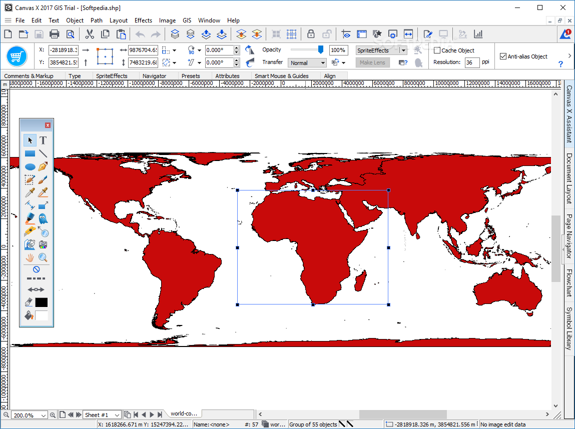
The workspace of Canvas X GIS features a generous preview area and intuitive controls for a seamless experience. There are a few settings you can tamper with, including the drawing scale of the map, the unit used for measuring distance, and the coordinate system type.
The toolbar is filled with editing tools that allow you to modify the view mode, toggle the ruler and the grid, and manage the objects in your map projection. The tab-based side panel bundles options for managing the layout of the document and drag flowchart objects or symbols onto the canvas.
The above text only highlights the most important GIS-related features and the GUI characteristics of Canvas X GIS. However, you should know that, although it is mainly designed for GIS design, the application comes with the full capabilities of Canvas X. In other words, the GIS module is added to make it possible to manage complex GIS documents, but Canvas X GIS can also be used to create presentations, illustrations, animations, and various other types of publications.
What's new in Canvas X GIS 2018 Build 239:
- New Features:
- Dynamic Effects, which will move and resize with the objects they are applied to, are added (Effect | Dynamic Effects): Shadows, Reflections, Glow, and Soft Edge.
- Smart Snaps, which are visual aids to align and size objects relative to each other or to their place on the page, are added (Layout | Smart Snaps).
- Images can be directly imported from WIA (Windows Image Acquisition) compatible scanners (Image | Import from Scanners...).
Canvas X GIS 2018 Build 239
add to watchlist add to download basket send us an update REPORT- runs on:
-
Windows 10 64 bit
Windows 8 64 bit
Windows 7 64 bit - file size:
- 249.2 MB
- filename:
- CanvasXGIS.exe
- main category:
- Multimedia
- developer:
- visit homepage
Zoom Client

7-Zip

Context Menu Manager

calibre

ShareX

IrfanView

Microsoft Teams

4k Video Downloader

Bitdefender Antivirus Free

Windows Sandbox Launcher

- 4k Video Downloader
- Bitdefender Antivirus Free
- Windows Sandbox Launcher
- Zoom Client
- 7-Zip
- Context Menu Manager
- calibre
- ShareX
- IrfanView
- Microsoft Teams