Analyze shapefiles and georeferenced pictures in different layers you can fit with custom color identifiers, and take a look over all attributes in an organized table. #Shapefile Viewer #View Shapefile #Geo Reference #Shapefile #Viewer #View
Even if you can’t afford to travel the world, advancements in technology made it possible to explore every aspect of planet Earth from the comfort of your PC. Different types of files are used for georeferencing to accurately map out regions, including altitude formations, and with FloppyGIS you can easily explore these kind of files.
First of all, the application provides a great deal of flexibility by skipping you the installation process, and making it possible to carry it around on a thumb drive, along with GIS files you need. Portability keeps the target system stable, because it doesn’t modify registries to enable functionality.
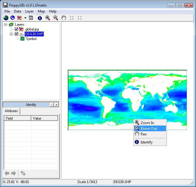
The core resource needed to benefit from what FloppyGIS has to offer are shapefiles found under the SHP format. However, you can also import georeferenced pictures of common formats like JPG, TIF, and BMP. Multiple items can be added, each stored on a different layer. A side navigation panel makes it easy to browse through them, and analyze elements.
Most of the space is the preview area, with context menu controls to zoom, and pan. You can manually set the scale by writing down the numerical value. When not used for camera movement, the cursor becomes an identification tool, with results shown in an attributes panel, with simple layout for field name, and value.
There aren’t any editing options involved, but you do have the liberty of customizing color for layer, border, and other elements. Moreover, the table of attributes can be brought up to get a better view over all items within your project. Sadly, it can’t be exported, nor pictures from the map itself, in which case you need to rely on the print screen keyboard function.
To sum it up, mapping out the entire planet is a powerful feat, which is used for more than entertainment. With applications like FloppyGIS, specialists can analyze georeferenced pictures and shapefiles of existing maps. Portability provides the flexibility you need to make analysis possible on any computer, with little effort.
FloppyGIS 1.0
add to watchlist add to download basket send us an update REPORT- runs on:
- Windows All
- file size:
- 618 KB
- filename:
- FloppyGISv1.zip
- main category:
- Multimedia
- developer:
- visit homepage
calibre

IrfanView

7-Zip

4k Video Downloader

Zoom Client

Bitdefender Antivirus Free

Windows Sandbox Launcher

Microsoft Teams

Context Menu Manager

ShareX

- Microsoft Teams
- Context Menu Manager
- ShareX
- calibre
- IrfanView
- 7-Zip
- 4k Video Downloader
- Zoom Client
- Bitdefender Antivirus Free
- Windows Sandbox Launcher