An easy to use program for 3D modeling #3D model #Computational geometry #Spatial dataset #Creator #Computational #Geometry
Geoblock is an integrated software for 2D/3D modeling, computational geometry and visualization of spatial datasets. The program can be used in Earth sciences particularly in such fields as survey, geology and mining modeling, ore reserve estimations and prediction of mineral liberation under grinding and mineral processing operations.
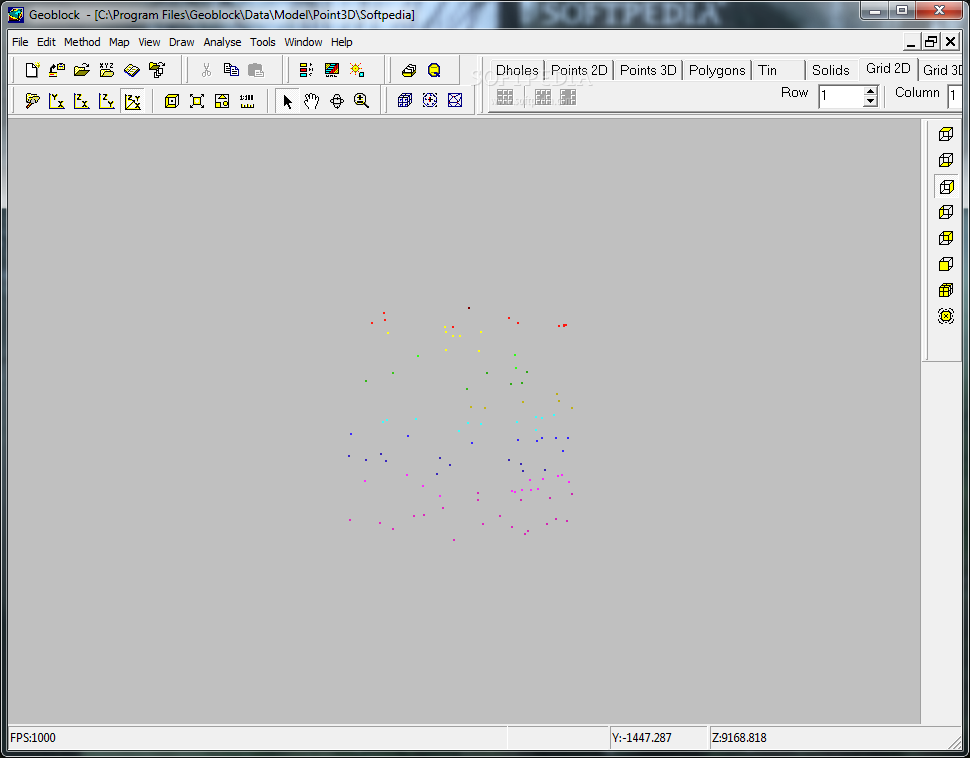
Geoblock supports several spatial dataset types for scientific computation and modelling: Points, Drill-holes or Boreholes, Polygons, TIN (Triangulated Irregular Network), Solids, Grids and Meshes.
The generation of grids and meshs in 2D/3D is implemented. Routines for exploration and processing drillhole data include: statistical data analysis and data transformations; compositing drillhole samples inside benches and grade intervals; calculation coordinates of samples along drillholes and exploration lines; prediction of mineral liberation phenomena in grinding operations and ore dressing parameters, simulation of mining processes in pits and shafts, etc.
Interpolation methods: Inverse Distance, Linear, Closest Point, Kriging, Natural Neighbors and Polynomial Regression.
Constructed grids and block models could be used for open pit optimization and mine planning. Deposit reserves for any ore type or sort can be calculated with different methods using spatial computer models.
Geoblock 2010.1.5 Build 124
add to watchlist add to download basket send us an update REPORT- runs on:
- Windows All
- file size:
- 16.4 MB
- main category:
- Multimedia
- developer:
- visit homepage
Windows Sandbox Launcher

calibre

Microsoft Teams

7-Zip

ShareX

Zoom Client

Bitdefender Antivirus Free

4k Video Downloader

IrfanView

Context Menu Manager

- 4k Video Downloader
- IrfanView
- Context Menu Manager
- Windows Sandbox Launcher
- calibre
- Microsoft Teams
- 7-Zip
- ShareX
- Zoom Client
- Bitdefender Antivirus Free