Enables you to visualize geographically related data. #OpenOffice extension #View geographical data #Display geographical data #OpenOffice #Extension #Geographical data
EuroOffice Map Chart is a useful OpenOffice extension that provides you with the possibility to visualize geographically related data. Showcase your statistics over detailed maps of the world!
Here are some key features of "EuroOffice Map Chart":
■ Color countries according to your statistics in a selection of color schemes! ■ Display bar or pie charts over the countries to convey more information! ■ Preview the chart to help you decide on color schemes and subchart types! ■ Send the charts to coworkers and clients who do not have EuroOffice Map Chart installed and they will still be able to view them! ■ Export to Excel or PDF, embed in presentations to amaze an even wider audience! ■ A title, a legend and captions can make your charts even easier to read! ■ Tweak and edit the created charts in OpenOffice.org Draw to shape them to your liking � then enjoy them still getting updated as your data is changed! ■ Sun Report Builder interoperability allows you to automate the creation of map charts from a database!
Requirements:
■ OpenOffice.org
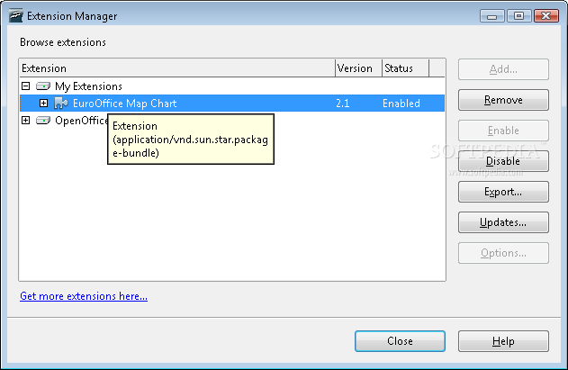
EuroOffice Map Chart 2.1
add to watchlist add to download basket send us an update REPORT- runs on:
- Windows All
- file size:
- 4.3 MB
- main category:
- Office tools
- developer:
- visit homepage
Context Menu Manager

Windows Sandbox Launcher

calibre

Zoom Client

7-Zip

4k Video Downloader

Bitdefender Antivirus Free

Microsoft Teams

ShareX

IrfanView

- Microsoft Teams
- ShareX
- IrfanView
- Context Menu Manager
- Windows Sandbox Launcher
- calibre
- Zoom Client
- 7-Zip
- 4k Video Downloader
- Bitdefender Antivirus Free