Powerful GIS application that helps you display GPS data on different maps, create a new map, add waypoints, manage tracks and set up routes. #View GPS map #GPS map viewer #Analyze vector map #Map #GPS #Waypoint
QLandkarte GT is an open-source software application specialized in displaying your GPS data on a variety of maps.
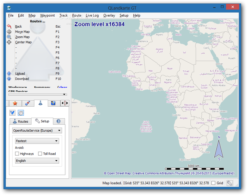
The program adopts a clean design and integrates a handy set of tools on the left side of the main window for managing GPS data, while the right part of the screen is reserved for the map display, where you can check out tracks, waypoints and routes, as well as overlays.
You can import data from Map Collection (QMAP), Garmin (TDB), BirdsEye (JNX), TwoNav (RMAP), or Magellan (RMP), or load an online map by selecting from several options. Geo data can be added from QLB, GPX or TCX file format.
What’s more, you can take a screenshot of your connected GPS device and copy the image to the clipboard, print the map or export it to an image file (PNG file format), as well as export geo data to GPX file format.
QLandkarte GT gives you the possibility to move the map by clicking on it and dragging it to the desired position, center the map, zoom in or out of the map, and perform searches.
You can create a new map from existing geo-referenced files, TIFF image or fine tune offsets of referenced files, add references, crop the borders and stitch the maps together in a collection.
What’s more, QLandkarte GT lets you add a waypoint by providing information about the name, adding an icon, giving details about position, altitude, proximity distance, webpage, description and comment, as well as inserting image and barcode. You can join or split tracks, embed statistic and geo–referenced text boxes, distance polylines and area polygons.
The program allows you to choose the unit of measurement (metric, nautic or imperial), pick the time format (UTC, local or automatic) and show zoom level, clock, track profile preview and track elevation info on the map canvas.
Plus, you can set up proxy parameters, limit the streaming map cache, configure the preferred device, upload and download all waypoints, tracks and routes, and play a sound notification upon transfers. The tool reveals very good output results but it is not friendly with system resources, so the overall performance of the computer may be hampered.
QLandkarte GT proves to be a powerful GIS application that integrates a decent feature pack for displaying GPS data on different maps.
QLandkarte GT 1.8.1
add to watchlist add to download basket send us an update REPORT- runs on:
-
Windows 8 32/64 bit
Windows 7
Windows Vista
Windows XP - file size:
- 39.7 MB
- main category:
- Others
- developer:
- visit homepage
Microsoft Teams

ShareX

4k Video Downloader

Bitdefender Antivirus Free

IrfanView

7-Zip

calibre

Windows Sandbox Launcher

Zoom Client

Context Menu Manager

- Windows Sandbox Launcher
- Zoom Client
- Context Menu Manager
- Microsoft Teams
- ShareX
- 4k Video Downloader
- Bitdefender Antivirus Free
- IrfanView
- 7-Zip
- calibre