Present spatial data obtained from various sources on a flat world map, and perform several other related operations, with this easy-to-use piece of software. #Waypoint viewer #Present spatial data #Create map #Map #Plot #Waypoint
MapList-Flat is a fairly straightforward application designed to help you display and analyze spatial data on a flat world map, and it comes equipped with a number of other handy tools.
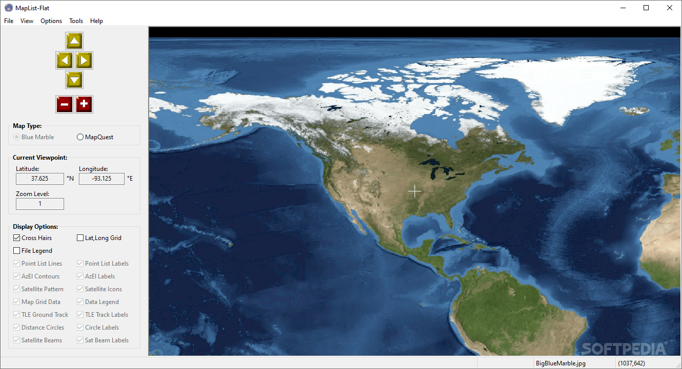
It can use either the NASA Blue Marble image or static background maps downloaded from MapQuest, and it supports several popular file formats.
The NASA Blue Marble image is already loaded when launching the application, but you can replace it with any other map of your choice, provided it uses the linear equirectangular projection.
The MapQuest static maps can be loaded automatically, but it is worth noting that an Internet connection is required in order to download them. These use a modified Mercator projection, and MapList-Flat takes this factor into account when switching between various map types.
It is possible to load waypoints or map grid data from various sources, including GPX, KML, CSV and AMG files, and then specify which items should be displayed on the map.
MapList-Flat enables you to plot satellite pointing angles for a satellite located at any latitude, longitude or altitude, draw circles on a map at a fixed distance from a center point and plot satellite orbit ground tracks using TLE data files.
The resulting map, complete with data that has been loaded from other sources or generated using the available tools, can be exported to a PNG, JPG, BMP or TGA image file.
MapList-Flat is quite accessible to novices, as no prior experience with similar software is required to understand how the application works. Moreover, the extensive documentation can come to the aid of users who run into any issues.
To sum up, this is a versatile and easy-to-use program that enables you to load and analyze spatial data using a flat world map. It comes equipped with several useful tools and features a minimalistic, intuitive UI.
What's new in MapList-Flat 1.9:
- Load Satellite Pattern now includes support for ITUR GXT files.
- Allow user to select independent fonts for Satellite Pattern labels, Az-El contour labels and TLE Orbit Track time labels.
- Add new checkbox on Main window to allow display of Equator line without lat,long grid.
- Improved suggested file names for Save Image function.
MapList-Flat 1.9
add to watchlist add to download basket send us an update REPORT- runs on:
-
Windows 11
Windows 10 32/64 bit
Windows 8 32/64 bit
Windows 7 32/64 bit
Windows Vista 32/64 bit - file size:
- 10.4 MB
- filename:
- MapListFlatInstall1_9-win32.exe
- main category:
- Maps / GPS
- developer:
- visit homepage
Bitdefender Antivirus Free

ShareX

Windows Sandbox Launcher

Context Menu Manager

calibre

Zoom Client

7-Zip

4k Video Downloader

IrfanView

Microsoft Teams

- 4k Video Downloader
- IrfanView
- Microsoft Teams
- Bitdefender Antivirus Free
- ShareX
- Windows Sandbox Launcher
- Context Menu Manager
- calibre
- Zoom Client
- 7-Zip