A comprehensive BIM software solution specifically designed for land survey analysis, with 3D surface modeling and data restitution capabilities. #Land survey #Survey analysis #BIM software #Land #Survey #Analysis
Complying with the latest UNI standards, SierraSoft Land provides a professional-grade BIM software utility specifically designed for land survey processing and restitution. It can process data acquired from GPS devices, drones, scanners, land stations, regardless of the size, providing tools for the restitution of digital maps, satellite imagery or photos.
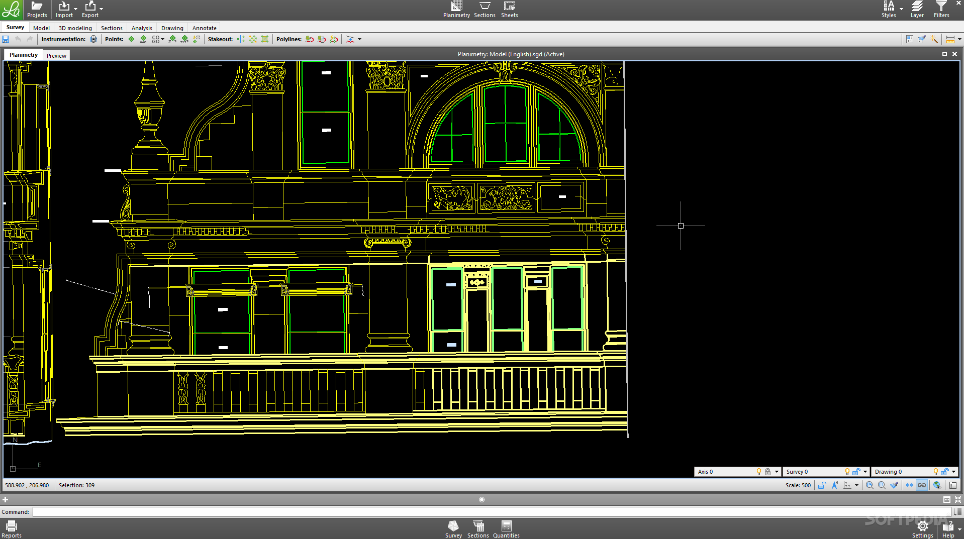
The working environment of SierraSoft Land might seem familiar to those who are accustomed to BIM and CAD software. The application can import SGD, REB and text documents, instrumentation, DWG and DXF files, as well as AutoCAD’s clipboard directly into the same project, along with your own set of survey points.
The design is created automatically by the application for traditional point-based data sets. On the other side, data in point clouds can be processed using SierraSoft Land’s digital survey functions. The application is capable of drawing in real time and provides high loading and display speed.
The BIM platform can create accurate 3D terrain surfaces, while offering you the freedom to extract and manage individual sections of the 3D terrain models.
Thanks to the advanced 3D modeling and design features, SierraSoft Land can manage leveling, connections surfaces and polylines offsets. It enables you to create side slopes and intersections with high accuracy, creating precise digital representations of the terrains and surfaces.
Determining volumes is easy with SierraSoft Land. The application uses different calculation methods, which use either triangular surfaces or extracted sections. Choosing to work with triangular surfaces is a simple way to go and ensures rather precise results.
Relying on the M3 framework, SierraSoft Land delivers an advanced BIM software tool for 3D surface modeling and land surveying. It facilitates survey restitution and surface modeling in a working environment that is familiar to CAD users.
SierraSoft Land 4.0.0.2101271
add to watchlist add to download basket send us an update REPORT- runs on:
-
Windows 10 32/64 bit
Windows 8 32/64 bit
Windows 7 32/64 bit - file size:
- 186.5 MB
- filename:
- SierraSoft_Land_Trial_64.zip
- main category:
- Science / CAD
- developer:
- visit homepage
calibre

Zoom Client

Bitdefender Antivirus Free

Context Menu Manager

ShareX

4k Video Downloader

7-Zip

IrfanView

Windows Sandbox Launcher

Microsoft Teams

- IrfanView
- Windows Sandbox Launcher
- Microsoft Teams
- calibre
- Zoom Client
- Bitdefender Antivirus Free
- Context Menu Manager
- ShareX
- 4k Video Downloader
- 7-Zip